
Blog

xyHt Weekly News Links: 09/03/2020
U.S. Geospatial Intelligence Foundation Awards Scholarships Carlson Brings Robotic Dog to Life Applanix Introduces Solution for Georeferencing Data

Geoid Schmeoid – Hybrid Geoid Height Models
In my area of surveying practice, perhaps the most frequent misunderstanding that I encounter involves the proper application of NGS produced hybrid geoid height models, or even what a hybrid geoid height model is. Because I was so frequently asked about this, I decided to prepare a paper on the topic that I could use...
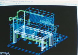
The Early Days of 3D Scanning, Part 4: Chevron, Cyra and Trimble
Thus far in my “insider story” (June, July, August 2020), I’ve described how, while working for Trimble in 1996, I first became aware of the technology, which was then still in development. After a jaw-dropping demo, I dove deep into evaluating the technology and its pioneering start-up company, Cyra Technologies, for a possible partnership with...
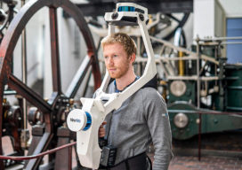
NavVis VLX: A New Take on Mobile Mapping
The NavVis VLX, the first-of-its-kind wearable mapping system designed for hands-free reality capture, including survey-grade point clouds, was introduced in May and is already having an impact in the field. The VLX captures high-quality data in even the most complex built environments. The unprecedented data quality delivered by a compact, versatile device sets a new...
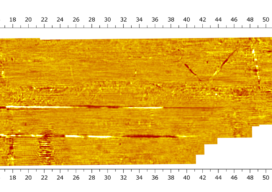
A New Dawn for 3D Ground Penetrating Radar Arrays
I was first immersed in ground penetrating radar (GPR) as a PhD student at Lulea University in northern Sweden in the mid-1990s, and I immediately fell in love with the technology. I love the ability it gives me to see hidden things so quickly and elegantly. I also love the notion that the equipment is...

Trimble R12i: The Next Evolution of GNSS Solution
The new Trimble R12i GNSS receiver marks the latest addition to its Global Navigation Satellite System (GNSS) portfolio. The Trimble R12i incorporates robust tilt compensation to increase productivity for land surveyors. The Trimble R12i incorporates Inertial Measurement Unit (IMU)-based tilt compensation using Trimble TIP™ technology, which enables points to be measured or staked out while...
Advertisement