
Blog
Passing the California PLS Exam, Part 1
Part 1: Requirements and Process Are you interested in passing the California PLS state-specific exam and becoming a California Professional Land Surveyor? If yes, then read on! I just passed my California PLS exam in May 2019 and can share my experiences with you. This article covers exam requirements and processes, the take-home exam, board-approved...

Weekly xyHt News Links: 08/23/2019
Laser scan data improves response in active shooter simulation Teledyne Optech and LiDAR USA partner in dynamic new mobile UAV sensor integration MicroSurvey introduces a new generation of data collection software with the launch of FieldGenius for AndroidTM Velodyne Lidar Announces Breakthrough Sensor for Autonomous Systems, Puck 32MR™ Bentley Systems Announces Finalists in the Year in...
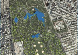
Automated City Extraction
Above: A portion of New York’s Central Park and surrounding neighborhoods, as automatically parsed into GIS data and reconstructed into 3D models by Geopipe. A new company called Geopipe builds 3D models using machine learning and AI, but with no photogrammetrists? A couple of weeks ago I found myself on a video call with a...
Weekly xyHt News Links: 08/16/2019
Mobile Laser Scan Data Improves Police Engagement Time in Active Shooter Simulation Trimble Introduces New Compact-Sized Tablet for Geospatial Field Applications Learn how to Increase Productivity with Drone Based Lidar
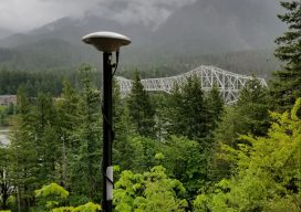
New GNSS Kids on the Block
Test driving a new Tersus rover: There is more to the story than a $3,000 price tag. The advent of a $3,000 high-precision GNSS rover holds a certain appeal, even more so when a test drive reveals that it holds its own with top-end rovers in many ways. But there is more to this story...
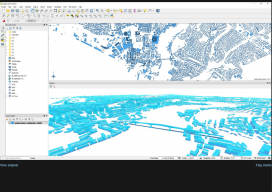
GIS in the Workplace – How do you ensure it is right?
If you go to the doctor’s, you can guarantee you’re seeing a professional because they’re registered. You look to get an extension done on your house, and the architect is registered (in the UK)with the Royal Institute of British Architects, or the surveyor is registered with the Royal Institute of Chartered Surveyors. So how what...
Advertisement