
Blog
Time to Do More
xyHt has been watching a recent flurry of news releases and webinar announcements from Trimble tagged with the slogan “Time to Do More.” There were quite a few major new products and enhancements announced so we wondered: Was this simply a marketing campaign? Or was this some new direction for Trimble? We decided to ask...

Robots to the Rescue
Above: A representative from The German Federal Agency for Technical Relief operates a UAV. The potential for unmanned vehicles conducting search and rescue is proven in Southeastern Europe. Editor’s note: In our January issue we highlighted ways unmanned aerial vehicles are being used worldwide (UAVs for the Whole World), including for conservation, at high altitudes, and...

xyHt News Links: 05/08/15
Septentrio announce’s AsteRx-M UAS – specially for drones and GeoTagZ Amimon and Futaba Partnership Enables Precise Gimbal Control on Aerial Drones via CONNEX Trimble Introduces New Software Enhancements at Imaging and Geospatial Technology Forum Innovative CONNEX HD Wireless Video Link Sets New Benchmarks for Drone Inspection Applications A new innovative Precision engineering company has launched...
Mapping the Appalachian Trail
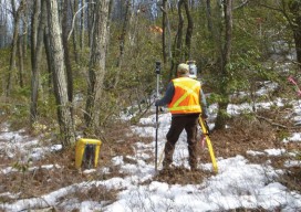
How the AT was created and surveyed, from Avery’s wheel to GPS The Appalachian Trail (AT) is very old, very long, and iconic. Completed in 1937, it stretches 2,189 miles through 14 states, 88 counties, 168 townships, eight national forests, six national parks, two national wildlife refuges, and more than 65 state game lands, wildlife...
How to Add Transparent Text to ArcGIS in 4 Easy Steps
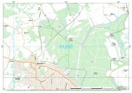
ArcGIS is a great piece of software but has some small functionality missing which, to a cartographer or perfectionist (like myself), can be a little frustrating. So I was really pleased when I discovered a way to create transparent text, something which has eluded me for a long time in ArcGIS. Lets consider this map:...

xyHt May 2015
Click here to view the May 2015 issue of xyHt
Advertisement