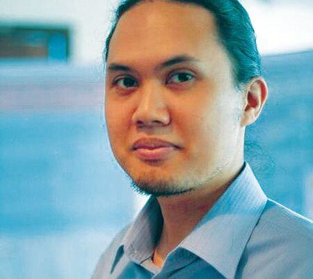
 Instructor in the Department of Geodetic Engineering, the University of the Philippines, Philippines
Noted for his dedication to improving the accessibility and utility of geographic information in the Philippines, Mark Edwin A. Tupas was nominated because he’s an inspiration to other geospatial professionals in the region.
Mark teaches remote sensing, spatial databases, and object-oriented programming. He is also at the forefront of research and development in data access portals for the Philippine lidar and microsatellite programs. As an open source advocate, he has organized annual workshops on free and open source software for geospatial applications since 2012, all conducted free of charge and open to the public.
Mark has a MS in remote sensing and a BS in geodetic engineering. Before teaching, he worked as an IT/GIS consultant at The World Bank.
This profile is one of 40 in xyHt’s 2018 Outlook issue. Click on the image below to read more.