
Category Archives: Construction/BIM

A BIM of Hope for the Environment
This innovative building information modeling tool aims to reduce the construction sector’s carbon footprint. But unlike other practices, it begins at the design phase. The construction sector is in a conundrum. Decades of non-stop sawing and hammering have been wonderful for the world’s economy yet dismal for the environment. In the latest figures from the...

Walden Environmental Engineering Captures New Insights and Revenue
Emesent Hovermap was used by Harkin Aerial to conduct internal and external scans of assets for Walden Environmental Engineering. This resulted in simplified and streamlined projects with improved efficiency.
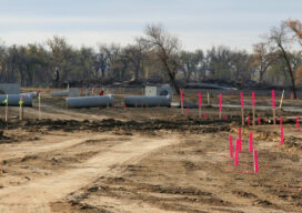
Reasons Not to Apportion Subdivision Lots
Apportioning excess or deficiency in platted lots seems like a quick and painless solution to a problem subdivision retracement when original corner marks are not immediately apparent.
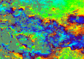
Remote Sensing – It’s About the Safety
If you follow trends in industry that serve our profession, it is impossible to not see articles and advertisements about the use of remote sensing technology. Unmanned Aerial Systems (UAS/drones) tend to be the leaders of the pack for many reasons. However, there are several others, from stationary and mobile terrestrial lidar scanners and cameras,...
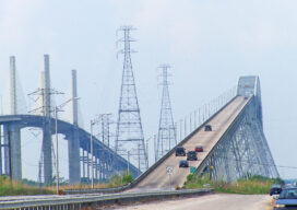
NSPS, Geospatial Firms and Others Support IIJA
In a letter to U.S. senators, the National Society of Professional Surveyors, geospatial firms, AEC firms, and transportation entities urged all senators to support the Infrastructure Investment and Jobs Act (IIJA), saying it will “provide meaningful economic and quality of life enhancements to communities across the country.” In all, 76 firms urged passage of the...
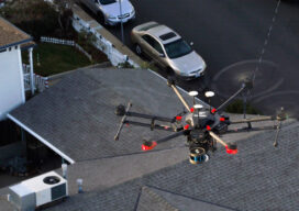
The Center for the Arts in Nevada County, California Optimizes Operations
Mobile LiDAR scanner Hovermap was used to conduct an internal and external scan of the facility in just over an hour to capture accurate as-builts and CAD drawings.