Throughout January, xyHt.com will feature the young geospatial professionals who are making a name for themselves in everything from surveying to geographic information systems. xyHt featured all of them in the January issue. Here we will spotlight one each day for the next 22 days.
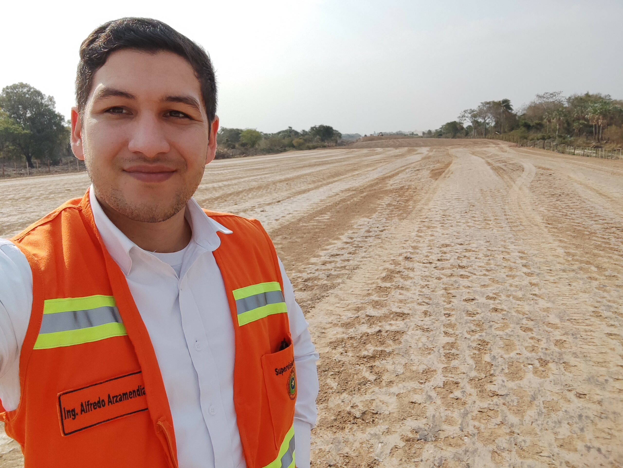
Name: Alfredo Eduardo Arzamendia Maldonado
Company: Ministry of Public Works and Communications of Paraguay
Current Position: Cadastral Survey Coordinator
Age: 32
Education: Technical College in Geographical Sciences, Directorate of the Military Geographical Service, Paraguay; Geographical and Environmental Engineering, National University of Asunción, Paraguay; Specialist in Geographic Information System and Remote Sensing, Universidad del Pacifico, Paraguay
Biography: Even before finishing his studies from the country’s main university, Alfredo was already actively working in the surveying field as a technical survey assistant. Now, his main work consists of carrying out cadastral analysis of land properties that will be affected by public works. As landowners must be justly compensated, Alfredo uses GIS tools to examine various benchmarks such as the land’s general topography, the scope of the area that will be affected by the public works, and the extent of private properties in the project area. Doing so helps the government to have a feasibility diagnosis before carrying out public works, optimizing its resources that are needed to carry out these undertakings efficiently and effectively.
Additionally, his team relies on his strong background on geodesy and topography, permitting him to carry out transport and control of closures of geodetic points using high-precision GNSS equipment. There are not many professionals with these geodetic skills in Paraguay.
Currently, Alfredo is working on two important projects along the Rio Paraguay, a river that suffers periodic flooding. He analyzes the river’s maximum flood discharge and the periods of their occurrence. He believes that his geospatial work is important for his country because it allows his team to better use their government’s economic resources (which are scarce for a developing country like Paraguay) during the execution of public works. By providing his skills in geodesy and topography, his team can also guarantee the quality and precision of their work based on international.
“By maintaining excellence in our surveying work, we are helping in the development of our country and people,” he says.