Category Archives: Spatial IT/GIS
Mapillary Raises $8 Million Series A to Democratize Maps by Connecting the World’s Photos
Technology has made the farthest corners of the planet more accessible than ever before. We can video call loved ones on the other side of the world; and we can view photos of foreign landmarks at the click of a button. At Mapillary, we are taking this accessibility to the next level by letting anyone...
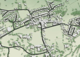
QGIS 2.5D Functionality
When I went into the office today, I had to write an amazing blog about the QGIS 2.5D functionality and how it was the beginning of QGIS’ journey into the 3rd dimension. Only I can’t, because Anita Graser, the author of “Learning QGIS 2.0” and owner of the Free and open source ramblings blog beat...
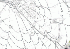
Web Mapping, Part 2
It’s as easy as 1, 2, built. In my last article in this series (December 2015), I briefly discuss the essence of what a web map is and the basic components. This part looks at the easy web mapping solutions that I briefly touch on in the last piece. I then discuss and provide the...
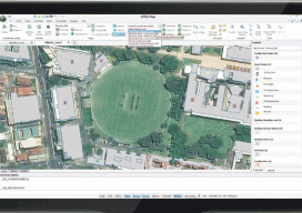
The Vanishing Divide
New solutions bridge the gap between CAD and GIS. Editor’s note: In our continuing examination of CAD-GIS integration we’ve presented several approaches and products. Internationally, a tremendous amount of work has been done towards integration, both in academia and in commercial software; here we introduce you to Graebert GmbH, German developer of popular CAD software...

Outlook 2016: 40 Under 40
In this annual issue focused on the future, we offer “40 under 40” (or “40<40”): a collection of profiles of motivated and noteworthy young professionals under 40 years of age. It is our wish that these profiles will honor those who work tirelessly to promote geospatial fields and to provide inspiration for young people considering...
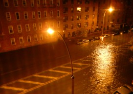
High-res Hurricane Maps
It’s after sunset in Brooklyn, New York. As I open my apartment window, suddenly I sense a strong, ocean aroma. I look outside and am shocked to see a deep surge of seawater flowing up the street quickly from a nearby boat marina. The street lights flicker, and in the water flows large tree limbs,...