Tag Archives: uas

State of: Precision Agriculture
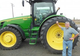
One of the fastest growing areas of application for geospatial technologies, precision agriculture is a way to optimize agricultural production through the application of crop information, advanced technologies, and management practices. Precision farmers map in detail variations in soil chemistry, moisture, and other site-specific conditions, use this information to produce “prescription maps,” then use these...
