Replacing NAD 83 and NAVD 88 have been in the works for a long time; now the change is getting near
The surveying and geospatial communities in the United States have been using geodetic datums that were designed and implemented at a time when the Global Positioning System (GPS) was in its infancy. Yes, we are referring to NAD 83 and NAVD 88, the horizontal and vertical geodetic datums that have been in use for decades. Well, changes are coming to the nation’s positioning infrastructure and all our geospatial data.

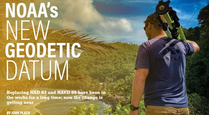
NOAA surveyor carrying a tripod in American Samoa.
The National Geodetic Survey (NGS), which sits within the National Oceanic and Atmospheric Administration (NOAA), is responsible for defining, maintaining, and providing access to this positioning infrastructure, called the National Spatial Reference System (NSRS). Since 2007, NGS has been working to overhaul the NSRS as part of a herculean modernization program. Horizontal positions are currently defined by the North American Datum of 1983 (NAD 83). This will be replaced by four tectonic plate-fixed terrestrial reference frames, which will provide latitude, longitude, and ellipsoid height information referenced to specific epochs in time. Vertical positions or elevations are currently defined by the North American Vertical Datum of 1988 (NAVD 88) in the contiguous United States (CONUS). Other states and territories have their own vertical datums. These will be replaced with the new geopotential datum, partly including a geoid model that spans the entire northwestern quadrant of Earth.
The new datum and reference frames will be accessible nearly anywhere, removing the need to rely solely on aging physical infrastructure like survey marks, which currently help define NAD 83 and NAVD 88. The new terrestrial reference frames that will replace NAD 83 will be accessed via reference stations that continuously receive Global Navigation Satellite Systems (GNSS) data like GPS. These reference stations are known as CORSs, or Continuously Operating Reference Stations, some of which are maintained by the NGS as part of the NOAA CORS Network (NCN). This continuous GPS data allows NGS to estimate errors introduced into GPS measurements, such as those from changing conditions in the atmosphere, particularly water vapor and precipitation. This information is then used by NGS’s Online Positioning Users Service (OPUS) to process user submitted data and improve the accuracy of the resulting coordinates.
Users can use OPUS to help accurately determine any geometric position, which includes latitude, longitude, and ellipsoid heights, computed using an ellipsoid model of the earth. An ellipsoid is used as a rough approximation of the shape of the earth; however, we know that the earth is not a perfect ellipsoid. As a result, we need other models to fill in the picture.
The first type are digital elevation models that reflect the varied topography of the earth, including features such as mountains, valleys, rivers, and shorelines. The second type are models of gravity, such as the geoid models, that relate to the varying strength of gravity according to the mass of the underlying land, with highs in mountainous regions and lows in less dense areas. Combining ellipsoid heights from GNSS with a new NGS geoid model will define orthometric heights (colloquially called “heights above sea level”) in the modernized system.
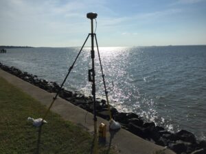
GNSS Receiver measuring a precise static location in Cook Inlet, Alaska.
Galen Scott, NGS constituent resources manager at NGS, said the changes are not only exciting, but hugely relevant for our industry.
“The current vertical datum for CONUS and Alaska, NAVD 88, was developed by adjusting together 2.2 million kilometers (1.36 million miles) of geodetic leveling data collected by surveyors walking across the country making precise observations between nearly 800,000 benchmarks over the course of nearly a century,” Galen said. “It was a huge effort that resulted in a very accurate model using the best science of the time. But things have changed, and the reality today is that satellite data is critical to most of the geospatial data workflows now used across the industry.
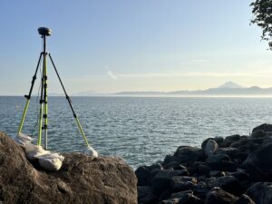
GNSS receiver measuring ground subsidence in Newport, Rhode Island.
“The new geopotential datum and terrestrial reference frames will take advantage of many technological advances and will provide a foundation for geospatial data that is not only more accurate and more accessible, but nationally consistent, aligned to international standards, and aligned to our current understanding of the center mass of the earth, around which all our positioning satellites orbit. All of these updates together will enable us all to get more out of our geospatial data sets than ever before.”
The centerpiece and one of the most impressive accomplishments of the NSRS modernization program was GRAV-D, or Gravity for the Redefinition of the American Vertical Datum project.
“The new reference frames will rely primarily on GNSS, such as GPS, as well as on a gravimetric geoid model resulting from the GRAV-D Project,” Galen emphasized.
According to NGS, these new reference frames will be easier to access and to maintain than the current NSRS, which relies on physical survey marks that deteriorate over time.
“Some issues that were not well accounted for in the current NSRS are continental drift and land deformation. But this time we have designed the modernized system to better account for these important types of changes on our dynamic planet,” says Galen. “Historically, we lumped together the North American and Caribbean tectonic plates for NAD 83. Now we understand and can measure how those plates rotate individually, so this time we have defined four Terrestrial Reference Frames (TRFs) for the four tectonic plates within our areas of responsibility. These include NATREF2022, PATREF2022, MATREF2022, and CATREF2022 named for the North American, Pacific, Marianas, and Caribbean plates, respectively. We’ve also introduced reference epochs for coordinates, that are like timestamps for survey data to help us make sense of changes in the landscape over time.”

GNSS receiver measuring a precise static location in American Samoa.
Another big issue that was addressed during the preparations for the release of the new NSRS was the exact definition of the center of mass of the earth.
“I know that it sounds strange, but NAD 83 was not geocentric.” Galen said. “Over the decades, scientists have perfected our understanding of the exact location of the center of mass of the earth. This is essentially the point around which the earth rotates and satellites orbit. NAD 83 is non-geocentric by about 2.2 meters (7.2 feet) which complicates the matter when using GNSS satellite data.
In CONUS, NAVD 88 is both biased (by about one-half meter) and tilted (about one meter coast to coast) relative to the best global geoid models available today. In addition to this bias and tilt, NAVD 88 suffers from the fact that it was made from old leveling data on marks that may have moved since they were surveyed, and the update process used did not effectively account for vertical land motion over time. All these issues are being addressed in the modernized system.
The new terrestrial reference frames will be completely geocentric and will rely on GNSS data that does not deteriorate over time and is much harder to remove by external forces.
“Another historical fact that might sound superfluous, but it plays a key role in the accuracy of the new model is that in the past the crews working on horizontal measurements and vertical measurements were different,” Galen said. “Now the geometric and geopotential (or horizontal and vertical) systems are defined together and that will bring an extra layer of consistency to the new system.”

GNSS Receiver in front of a NOAA research vessel in American Samoa.
So, when will the new system be available?
“Well, it’s not a binary answer or a day and night deployment,” Galen said. “This is an enormous undertaking, and it will not all come out at once. In fact, we just had a webinar called Progress Toward a Modernized NSRS on February 8, 2024, that explained the remaining steps and timelines. In a nutshell we will be rolling out modernized NSRS components onto NGS’s BETA website beginning in mid-2024 and are aiming for all the data and a limited set of tools to be available by mid-2025.
As each component is rolled out, it can be tested and the process of being incorporated into geospatial data workflows can begin. Once all components are available, another full six months of testing will continue, culminating in the actual replacement of the current NSRS with modernized NSRS sometime in 2026.
However, the time to prepare is now. While tools will be available to facilitate the transformation of specific position information, it can take years to change products, services, or databases. Surveyors and geospatial professionals may want to begin examining the metadata of current databases and records that may be impacted and plan for the effort required to transition them to the new system based on the accuracy requirements of the data and related products. For more information, check out the Transitioning to the Modernized NSRS section within the NGS Blueprint 3 document.
Another issue that might be important to examine as an industry is that many state and other governmental entities passed laws requiring that public works or maps reference NAD 83 or NAVD 88 and many private contracts have similar references. Those laws or contracts will need to be changed to refer to the current version of the NSRS, and examples are available on the NGS “Get Prepared” page. Starting to plan now will help you be well positioned for the change.
“The benefits of the new system are not quantified just in terms of accuracy, but there’s also a huge economic impact that will take place over 10 years.” Galen said.
An economic study by NOAA was commissioned to look at the financial benefits of updating horizontal and vertical datums to more accurately reflect the satellite-based nature of our profession today and in the years to come. The study mentions that the overall number of persons employed in surveying and mapping is estimated between 170,000 and 200,000.
The study concludes that a conjectural estimate of the net benefit of GRAV-D is in the vicinity of $240 million per year. The present discounted value of benefits of $240 million per year over 15 years is $2.2 billion. Combining the benefits of the $2.6 billion estimate of the benefits of GRAV-D in avoided costs of expensive long distance geodetic leveling with the $2.2 billion from improved floodplain management yields a combined estimate of the present value of benefits of GRAV-D over 15 years of $4.8 billion.
“We are confident that the transition to a modernized NSRS will contribute greatly to the accuracy of the mapping in the country, and it will allow surveyors and geospatial professionals to adapt their methodologies and workflows to the new system in a way that would benefit all involved,” concluded Galen.
For further information about the specific changes and to keep track of the specific release dates, go to www.geodesy.noaa.gov and subscribe to the different newsletters that are updated continuously.