All posts by Gavin Schrock
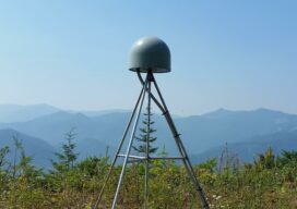
The New Datum and Real-Time GNSS Networks
We asked U.S. RTN what their plans are for the upcoming changes to the National Spatial Reference System. When it comes to geodetic reference frameworks, “shift happens.” Surveyors (and others) have been through this before, like changes from NAD27 to NAD83, NGVD29 to NAVD88, from NAD83(CORS96) to NAD83(NSRS2007), and to the current NAD83(2011). Remember the...

Full-on, Mixed Reality Stakeout
Now, with a heads-up display visor and hand gestures—no controller needed—mixed reality construction layout just went from “sci-fi” to the job site. Stakeout – Struggling and Juggling Sorry, but I need to geek out a bit…. If you’ve ever done construction/survey staking then you know how cumbersome and time-consuming it can be. While there have...
What is Tersus GNSS?
I had seen the name Tersus GNSS in geospatial social media for several years before our xyHt team stopped by their booth at the INTERGEO exhibition in Berlin in 2017. For a startup, launching in 2014, the company appeared to be making a lot of the right moves. As high precision GNSS was entering what...

Dr. Gladys B. West: The Autobiography of a GPS Pioneer
The inspiring and touching memoir of a pioneering mathematician, Dr. Gladys B. West, who has been recognized and honored for her key contributions to the development of GPS. Gladys Mae Brown Recently published, “It Began with a Dream” chronicles an extraordinary life and is a celebration of perseverance, hard work, faith, and family. Authored by...
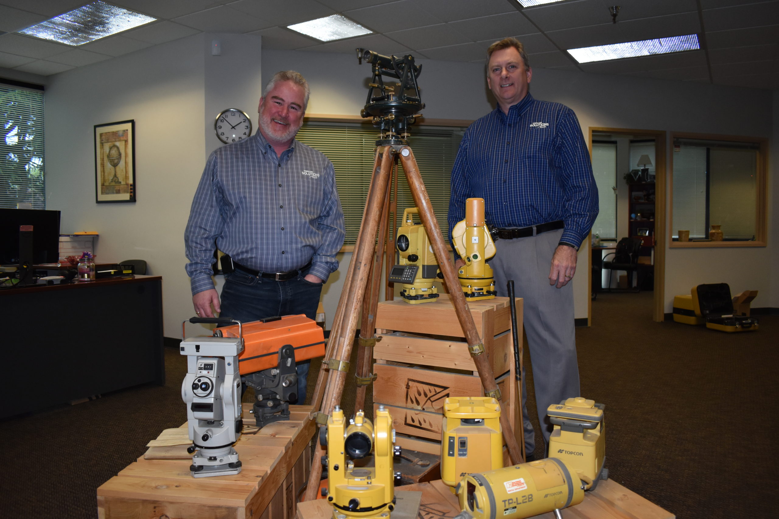
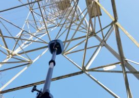
Topcon Solutions Store Leads the Way in Gearing Up
Moves to modernize surveying, engineering, and construction were already well under way—recent events have simply accelerated the process. Many, such as Topcon’s Solutions Store, have used the recent slowdown to adopt new models for workflows, collaboration, distributorships, training, and support to be ready to meet future demand. As the pause button is being released, and...
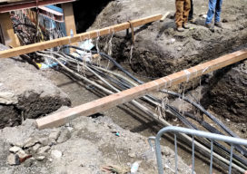
Damage to the Underground: A Stitch in Time Saves Nine
Avoiding damage to utility infrastructure could save billions. This is a summary of a white paper “Reducing Damage to Underground Utility Infrastructure during Excavation” prepared by Geoff Zeiss and Dr. Sakura Shinoaki and published by the Geospatial Information & Technology Association. Over two decades in the United States there have been more than 400 fatalities and...