
Blog
Open Source Field Capture
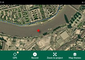
Recently I’ve been doing a bit of GIS training with environmental companies, mostly to help them make the move to open source software. You see, a few companies out there have propriety software licenses that are due to end, but the companies can’t justify the renewal when all they do is draw boundaries on a...
From Down Under to the Skies Over North America
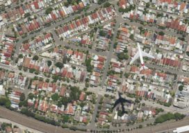
As aerial firms evolve and expand to provide imaging as a service (IaaS), the next step is 3D data services. A prominent Australian aerial services company, with success in the 3D data market, is eyeing an expansion into North America. Aerometrex Pty Ltd.—not affiliated with Aero-Metrics or Aerometrics—is a prominent aerial imaging, remote sensing, 3D...

Weekly xyHt news links: 2/21/20
Leica Geosystems brings the world’s first MultiStation to the next level Leica Geosystems announces new most accurate total station LAND INFO Announces 5G Wireless Mapping Team in Europe
Creating a Web Map Using QGIS2Web
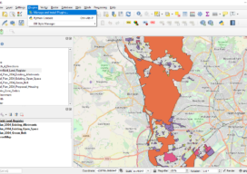
Almost two years ago to the day I wrote Webmapping 3.5 in which I did a walkthrough of QGIS2Web. Since then, QGIS has grown up, and so has QGIS2Web. In the original blog, I discussed how you could use OpenLayers and Leaflet as basemaps. Now you can use Mapbox, too. The layout is improved and...

The Cost of Compliance: FAA’s NPRM Remote ID: Part Two
Due to a scheduling issue, the January 21st issue of Pangaea (including part one of this series) was published only online. Here’s the link to part one. In part one of this series, we looked at the basics of the FAA’s Remote ID (RID) plan as outlined in its notice of proposed rule-making (NPRM). Now...
New Products, Training Highlight Drones’ Increased Role in Mapping and Surveying
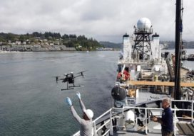
Drones are taking on an increased role in the world of mapping and surveying, with some companies specifically tailoring their products to appeal to this market. For instance, the companies UAVOS and Polynesian Navigation Inc. have collaborated to develop a long-distance autonomous UAS for 3-D mapping. Powered by UAVOS’s autopilot, the UVH -25EL unmanned helicopter...
Advertisement