
Blog
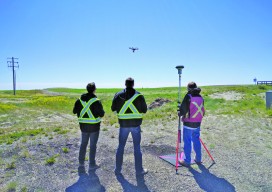
Collaboration in the Air and on the Ground: Skymatics, Ltd.
Two different firms–one UAS and one land surveying–partner to increase the values of both companies. xyHt’s Jeff Salmon interviewed the co-founders of the Alberta, Canadian firm Skymatics, Ltd.–EJ Burrows, CEO, and Dr. Cassidy Rankine, CTO–about their partnership with Element Land Surveys. xyHt: I understand Skymatics started in Bermuda in 2011 and has since expanded into...
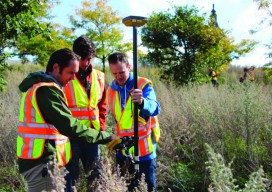
Dunwoody College of Technology
Surveying and Civil Engineering Technology Located on the edge of downtown Minneapolis, Minnesota, Dunwoody College of Technology’s surveying and civil engineering technology program offers a two-year Associate of Applied Science, which provides students a comprehensive, hands-on education that prepares them for successful surveying or civil engineering technician careers. The program has a dual focus on...

xyHt News Links: 8/5/16
Lead’Air Announces MIDAS Options with Ultimate Phase One Quality Trimble Acquires AXIO-NET GmbH – Recognized Provider of GNSS Services microdrones™ and DLRG Horneburg/Altes Land e.V. demonstrate promising new water rescue tactic using drones and compact flotation devices INTERGEO 2016: Augmented reality turns geo IT applications into a real experience ILMF Call for Papers – Deadline September...

Geodesy around the Campfire
Although I thoroughly enjoy what I do for a living as a land surveyor specializing in geodetic control work, I often tell people it makes for really lousy dinner conversation. Rarely does it take more than a sentence or two to generate blank stares, gestures of confusion, and drastic attempts to change the subject. The...
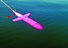
Hydro Insights Part 3
A Case for Big Blue Data Note: xyHt is honored to host insights from Dr. Dawn Wright and Captain (ret.) Rafael Ponce, two distinguished scientists in the fields of hydrography, marine surveying, and oceanography. Parts one and two of our interview appeared in the September and November 2015 print issues of xyHt. xyHt: Terrestrially, a boom is...

Dual-head Mapping
A dual-mount multibeam sonar installation is used to conduct extreme shallow-water surveys of intertidal seafloor to track morphologic change. This article contributed to by Heather Weiner, Brent von Twistern, Mike Brissette, Jonathan Beaudoin, and Amanda Hacking. The intertidal and nearshore zone is among the most ecologically productive and important zones to coastal resource management agencies. However,...
Advertisement