Core Articles

Everything you ever wanted to know about Mobile Mapping
Explaining the tools and technology behind mobile mapping devices for experienced laser scanning professionals looking to make the jump to this new technology. In its short life, the market for 3D as-built documentation technology has seen considerable innovation. Among the myriad new tools to hit this market, nothing has changed the way we capture buildings...

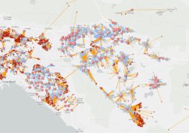
Smart Maps Guide COVID-19 Investigations and Actions
As hundreds of millions of eyes stay glued to the rising toll and reach of the novel coronavirus disease 2019 (COVID-19), map-based dashboards have become a compelling, near real-time way to monitor the outbreak. They’ve also substantiated the message that everyone must take precautions and alter daily interactions. When the World Health Organization (WHO) declared...

Positively Surveying: A 2020 Vision for Geospatial Professions
I’m imagining a world. It’s not a dream. It’s coming, and soon. One in which we bring data from the field and step into a virtual reality (VR) environment made by our data points that we uploaded to the cloud. Where we’re crafting and sharing our surveys in 3D and real-time, in collaboration with surveyors...

Coaching Robots
Continuous surveying (to support smart cities, infrastructure, geodesign, and construction) is opening expanded—but unconventional—roles for surveyors and geospatial practitioners. Photo above (added Nov 19th, 2019): A concept partnering Hilti, Trimble and Boston Dynamics on a walking platform, here shown with an X7 scanner (press release: prn.to/33XYbcJ). A member of your field crew that’s a bipedal, survey-rod-carrying...

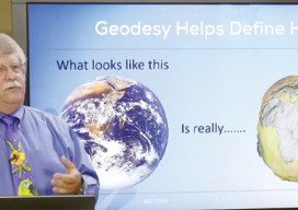
Fundamentals of Geodesy
Part 1: An Introduction Editor’s note: With this article we start an overview of GeoLearn courses offered by Dave Doyle, former chief geodetic surveyor for the National Geodetic Survey and geodesy editor of xyHt. GeoLearn (geo-learn.com) is an online education business helping professionals reach mandatory continuing education requirements and sort through everyday work issues. Dave’s...
Feature: A New Datum
Finally: the rationale for a new geometric geodetic reference frame to replace the North American Datum of 1983. In 2008, the NGS released the publication of a ten-year operating plan that, among other things, called for efforts to replace NAD 83 and NAVD 88, the official horizontal and vertical geodetic datums of the United States. (Note...
