
I’ve attended a lot of conferences over the years. They’ve primarily been either surveying-focused or technology- (GPS, laser scanning, reality capture, CAD) focused. The recent Utility Engineering and Surveying Institute (UESI) conference, held April 22 to 24 in Pomona, California, was my first conference with a strong mix of civil engineers and surveyors; a show of hands indicated roughly a 50/50 ratio. From that perspective alone, it was an interesting experience.
The UESI is part of the American Society of Civil Engineers (ASCE). ASCE, by the way, is the organization that issues the famous “Report Cards” on the state of civil infrastructure in the U.S. UESI has six divisions, including a surveying and geomatics division that organized the program.
The tagline for this inaugural conference was, “Surveying: A Foundation to Sustainable Infrastructure Development.” The conference host—the Civil Engineering Department of Cal Poly Pomona—is literally the largest civil engineering department in the U.S., with 1,500 students. The conference drew over 150 attendees, and networking was very active, as was the exhibit area.
What struck me most was the positive and publicly admiring view that various civil engineering executives and conference speakers shared about surveying and surveyors today. This contrasted with what I’ve often sensed at many other events: surveyors grumbling about how they’re perceived by engineers and others outside the profession. What was the source of that admiration at the UESI conference?
In my view, the source had two parts. One was simply the very nature of the conference itself: surveying for civil engineering projects. Civil engineers who attended were almost by definition appreciative of the role that surveyors provide; they understood surveying’s importance for what civil engineers do.
The second part was the surprise one for me. They admired the way that surveyors had latched onto exciting new technologies. They viewed today’s surveyors as progressive compared to their fellow civil engineers.
There were many examples of this. Opening keynote speaker, Dr. Norma Jean Mattei, ASCE 2017 president, remarked, “Surveying is very bullish and moving into the future.”
Former ASCE president, Mark Woodson, added in his keynote, “It is great to see so many surveyors as part of an ASCE meeting. It’s exciting because of the science that surveyors are actively adopting: advanced technology like lidar.”
Another keynote speaker, Dr. Robert Kayen, USGS, UCLA, and UC Berkeley, remarked, “Technology today is incredible versus what I was taught on.” That view was pervasive among attendees—surveyors are leading the way, applying exciting, new technologies that bring significant, additional value and benefits to civil engineers.
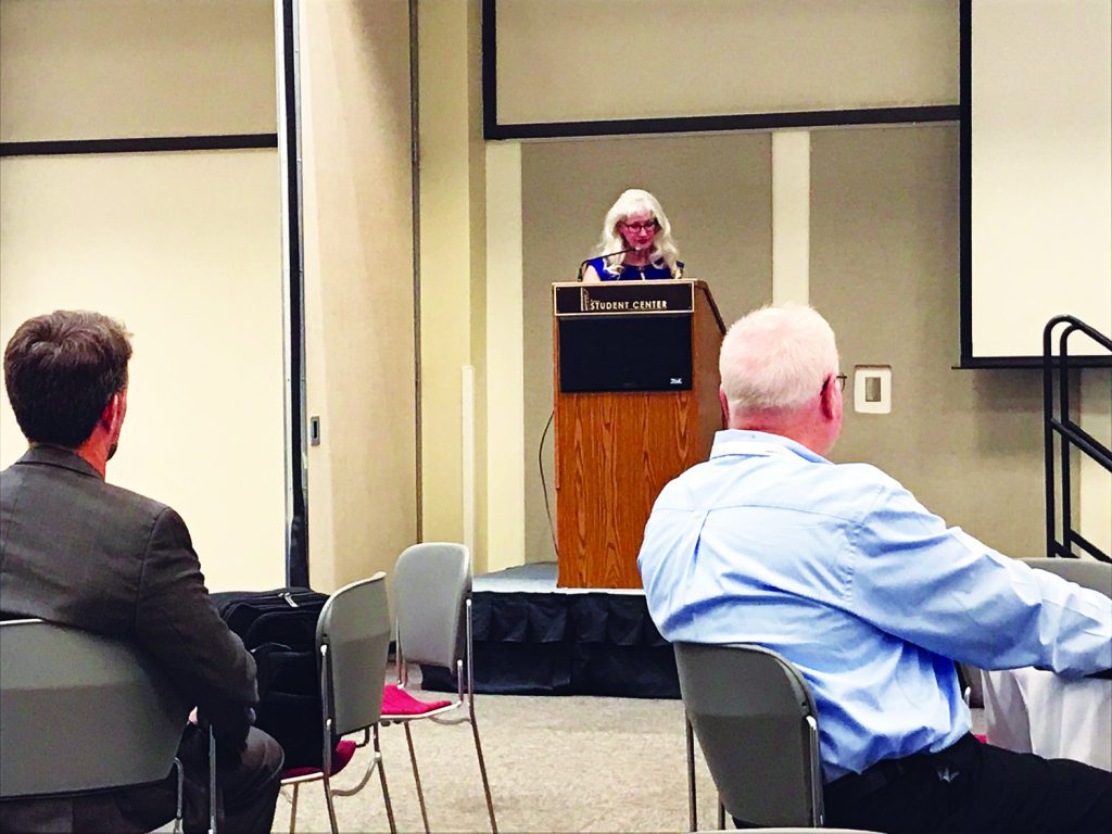
2017 ASCE president, Dr. Norma Jean Mattei, welcomed attendees and lauded surveyors.
Reinforcing the keynote remarks, a total of 16 technical sessions—out of 50 total sessions—were devoted to the application of laser scanning, mobile mapping, or UAVs for various types of civil-engineering-related projects. On the exhibit floor, literally, every product and/or service vendor had laser scanning, mobile mapping, and/or UAVs as part of their offering.
In one session, a surveyor from San Bernadino County Public Works described the county’s current UAV program. They currently have three UAVs and use them on 100 to 200 projects per year. Primary applications include landfills, flood control basins, and stockpile monitoring. UAVs were replacing aerial mapping for smaller area projects. The payback ROI period for investment in the UAVs and processing software was claimed to be two to three years. In addition to 30 to 50% cost savings versus aerial mapping, other benefits cited included more dense data, higher accuracy, faster mobilization, and the ability to conduct more frequent monitoring (thanks to lower costs).
On the short side, there are various limitations where and when you can fly UAVs: flat surfaces with few distinctive features were cited as not good mapping candidates, and projects become significantly costlier in the office when planimetric features need to be extracted.
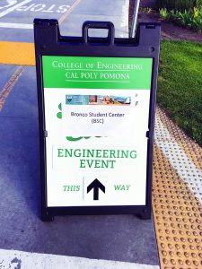
The UESI conference was hosted by Cal Poly Pomona.
Many conference sessions at UESI 2018 were related to subsurface utility mapping. This is clearly a hot topic today. Increased demand for subsurface utility mapping is being driven by new industry standards and a higher level of public awareness and outcry over incidents where something bad happened when someone was digging and hit something they weren’t expecting. There were also many sessions on GPS-related topics.
The next UESI conference is being planned for 2020, and Cal Poly Pomona has again offered their conference facilities and staff support for it. If the inaugural conference was any indication of what the future holds, the 2020 conference should also be a good one—and another uplifting one for surveyors.