Tag Archives: Ordnance Survey
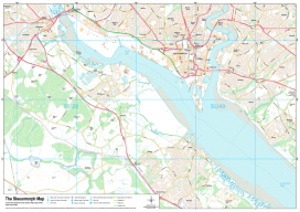
Recreating the Ordnance Survey Explorer Maps with Open Data
The holy grail for many (UK) map users is the Ordnance Survey 1:25,000 scale “Explorer” map. Not only are they easy to read due to the fantastic cartography used, but they also have information which is hard to source such as public rights of way, National Trust & Woodland Trust sites, even wind farms. To...

Ordnance Survey go GovCo
A new model for operation of The Ordnance Survey of the UK has been announced. This looks promising for the future of the customer and it is good to note the reference(s) to the use of the term “Open & free where possible”. It certainly looks like there are some exciting times ahead for the...

Open Source in the UK
Contrary to popular belief, it was neither the UK government nor Britain’s national mapping agency, Ordnance Survey, who started the UK open-source movement. Although open source was present and used in the UK before 2006, it was The Guardian newspaper that started a campaign called “Free Our Data,” which called for the raw data collected...
Open Source
The door to open source geospatial software has been unlocked. It’s time to take a peek inside. The open source geospatial movement is not purely about “free” (as in no cost). There truly are other aspects of “free,” as in “free to develop without constraints,” and free access to public geodata without necessarily having...