All posts by Juan B. Plaza

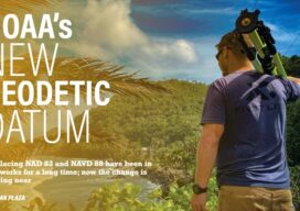
NOAA’s New Geodetic Datum
Replacing NAD 83 and NAVD 88 have been in the works for a long time; now the change is getting near

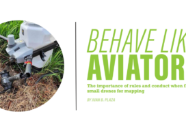
Behave Like Aviators
The importance of rules and conduct when flying small drones for mapping

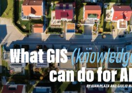
What GIS (knowledge) can do for AI?
Part 3 By Juan B. Plaza and Giulio Maffini Now that we have explored what AI can do for GIS in the first two parts of this series, let’s embark in the more complex task of exploring what a GIS-empowered AI will look like. First, let us clarify that it is our belief that it...

What AI Can Do for GIS
Part 2 By Juan B. Plaza and Giulio Maffini Before we can even attempt to describe what AI can do for GIS, we need to understand what a GIS is and how it is used. What do these three letters mean? A pretty good definition is: A geographic information system consists of integrated computer hardware...
Interview with ChatGPT
Answers to Questions put to ChatGPT 3.5 Validating our Thought Experiment Premises How do you convert an ArcGIS vector map to a Geodesic Planetary Model using a Quaternary Triangular Mesh (QTM) ChatGPT:Converting an ArcGIS vector map to a Geodesic Planetary Model using a Quaternary Triangular Mesh (QTM) is a complex process that involves several steps....

The Complex Issue of AI and GIS
Part 1 We attended remotely the ESRI User’s Conference (UC) held in San Diego on July 10th and, for the first time, saw and heard how the leading commercial GIS software company in the world positioned itself for the use of AI in its products. It is reasonable to assume that AI can make GIS...
