All posts by Juan B. Plaza
Geospatial Adventure, eh?
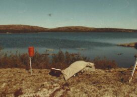
Racing the weather to establish a second-order control network in the Great White North in the early days of GPS
Looking Back
Using a single-beam laser to create a mapping profile in the Amazon jungle was a hint at aerial technologies to come
Using Lidar to Strengthen Ground Control
With the maturity of aerial photogrammetry in the early 1900s in pre-war Germany, military applications, especially reconnaissance and semi-accurate 3D maps and approximate contour lines, became the norm.
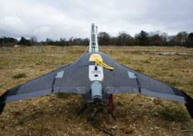
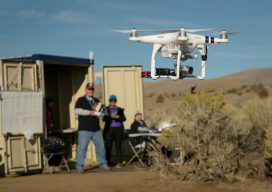
Safety First: Using Small Drones to Map Unsafe Sites
Traditionally, photogrammetry based on aerial images and stereo plotting, has been the realm of large mapping companies capable of affording the onerous ownership of planes and the high personnel cost of pilots, navigators and camera operators. The equipment used to convert the stereoscopic pairs into contour line maps cost hundreds of thousands of dollars and...
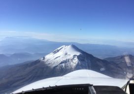
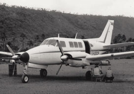
Citation (Jet) Needed: A Start-Up Takes Off
A wealthy investor on the other end of the line said, “Juan, I understand you are photogrammetrist and a pilot. Are you ready for a challenge? I bought six Citation jets in a government auction, and I want you to help me turn them into a modern aerial photography platform.” For those of us who...
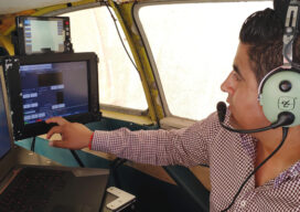
BVLOS
Beyond visual line of sight is the next frontier for UAVs. The FFA’s Part 107 rule allows for routine civil operation of small unmanned aircraft vehicles (UAV) in the National Airspace System (NAS) and provides safety rules for those operations. Since this implementation almost two years ago, more than 70,000 drone pilot applications have been...