
Blog

xyHt Magazine December 2016 Issue
Click here to view the December 2016 issue of xyHt magazine.
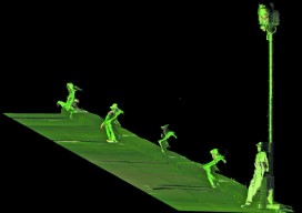
The Scanning Stalker: Who’s That In My Point Clouds?
There he is again. This is the third time today. I keep finding him in my scans–hiding behind some tree or peeking around a corner. I keep an eye out while I’m in the field, but I’ve never caught him in the act. I’ve gotten used to it over the years, but it still gives...
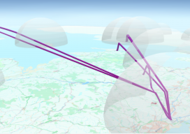
Vertical Transformations and GIS
You know those moments where you are sitting in a pub, the office, or at a friend’s house and you say something, then suddenly wonder why you haven’t thought of it before? I had that very issue in the Brew Dog pub near Spitalfields in London, UK a couple of weeks ago. You see, I...

xyHt News Links: 11/25/16
Avenza Maps Pro now available to industry professionals AeroVironment unveils new commercial drone & support system ideal for oil and gas applications

UAS Crystal Ball 2017
Four things to watch for in the UAS space next year. Regulation: I just made up an acronym—“GBVLOS”—Getting beyond visual line of sight. With the rollout of the FAA’s Rule 107 allowing sUAS into the NAS for commercial work, the profession breathed a sigh of relief. Issues still remain, though: namely exemptions for BVLOS. So...
Methods of Analyzing Data, Part 2: Blunders!
Elementary Statistical Procedures In this article, I assume that a least squares adjustment has been performed. Unfortunately, many novices believe that their work is done because they now have a solution to the unknown station coordinates. However, nothing is farther from the truth. It is at this point that the real work begins in analyzing...
Advertisement