By John Copple, Ed Kunz, and Stefan Bailey
Wow, Washington, D.C. was an incredibly dynamic place this past year. Despite a complex and polarizing political environment, MAPPS made significant progress on many priority issues.
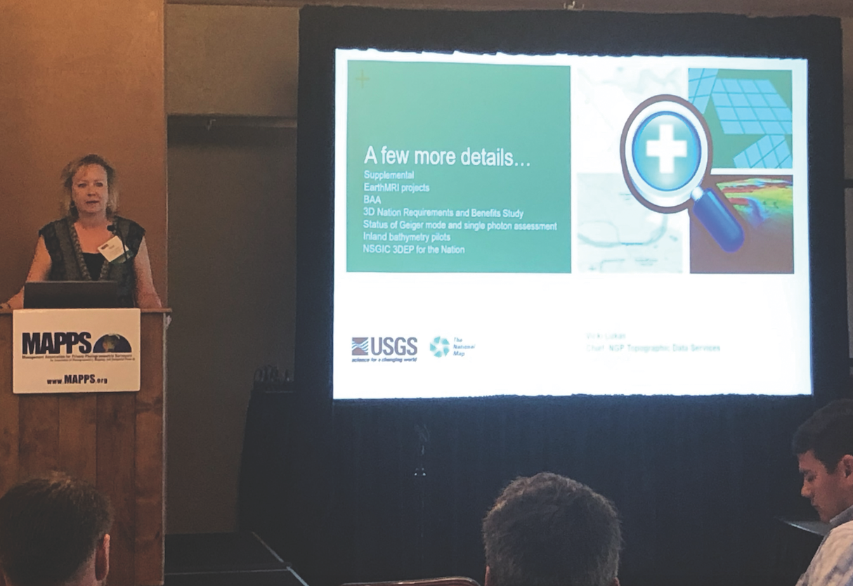
The USGS briefs MAPPS members at the summer conference.
The MAPPS Legislative Affairs Committee (LAC), along with many strategic association partners, made huge contributions to our profession in 2019.
With the push from MAPPS, our member firms, and our friends on Capitol Hill—and in partnership with organizations such as NSGIC (National States Geographic Information Council)—we achieved the budget goals for geospatial programs such as 3DEP and NAIP, helped move several bills through the legislative process, and built meaningful relationships on behalf of the industry.
The result of these coordinated efforts yielded remarkable outcomes, with the following industry priorities being addressed.
1) The budget for the National Geospatial Program continues to trend upward, as USGS Core Sciences has not received a programmatic cut in funding and is capitalizing on prior-year increases.
2) The Digital Coast Act passed the House and is in a prime position for action in the Senate. It was favorably reported out of the Senate Commerce Committee, and we’re now working to include DCA in a larger package that will receive a Senate vote.
3) The National Landslide Preparedness Act reported out of the the Senate Commerce Committee on December 5 and is awaiting action by the full Senate. The House passed its version of the legislation in June.
4) The National Agricultural Imagery Program (NAIP) funding was increased by $2.3 million, which is in line with the President’s FY 2020 budget request.
5) 3DEP – Core Science Systems is progressing. The agreement provides $137,902,000, which includes $24,051,000 for science, synthesis, and analysis. National Cooperative Geologic Mapping is funded at $34,397,000, which provides funding for phase three of the National Geologic Database as outlined in House Report 116-100.
In addition to the above legislation, MAPPS continued our efforts to fully develop geospatial programs, made four trips to Washington during the year, and had meetings with the U.S. Department of Transportation on autonomous vehicles.
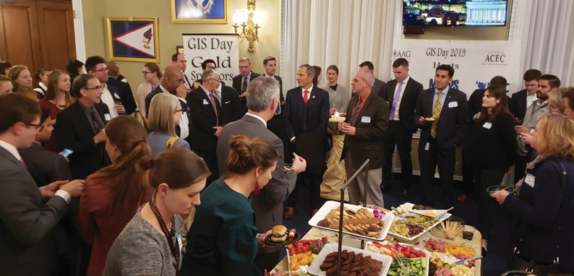
MAPPS also hosted the first-ever GIS Day on Capitol Hill, along with partner associations of NSGIC, AAG, and ACEC and AASG.
These successes could not have occurred without the invaluable participation from MAPPS private-sector members and association partners who responded to the many MAPPS LAC calls to action and provided support to the MAPPS PAC.
In 2020, MAPPS plans to continue our success in Washington, D.C. by increasing outreach and education, leveraging the House and Senate GIS caucuses, working directly with more agencies through our liaisons, and encouraging member firms to respond to our calls to action. The dynamic forces of an election year will be challenging; however, we will continue to stay focused and unified towards our objectives.
Please join MAPPS as either a member or a strategic association partner as we continue advocating for sound geospatial policy and legislation that leverages the power of geospatial services, data, and collaborative government programs that are in the best interest of our nation.

A GIS Day reception headlined by MAPPS and supported by other industry associations.