Category Archives: Civil/Transportation
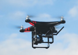
MAPPS Comments on Developing Best Practices for Use of UAS
The National Telecommunications and Information Administration (NTIA) has called for comments on UAS and privacy; their request is here:NTIA seeks comment on the process for developing best practices for commercial and private use of unmanned aircraft systems MAPPS has filed its comments, which you can find below: Formed in 1982, MAPPS (www.mapps.org) is the only...
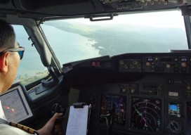
Tracking Aircraft in Flight
From surveillance methods using ground-based radar to space-based systems, it’s more complex to track aircraft than you might think. The disappearance of Malaysia Airlines Flight 370 on March 8, 2014, with 239 people on board, was both tragic and stunning. The loss of a modern commercial aircraft operating in government-controlled airspace, which remains unexplained, represents...

Boundary Lines: When a Fence Appears in the Middle of your Street
In early July 2014, the residents at the end of Eastside Drive, a tranquil community of lakeside homeowners in Cobb County, Georgia, were perplexed to see workers installing a fence, ostensibly down the middle of their paved road. When the fence was completed, and where homeowners once enjoyed the ability to back up their vehicles...

Infrastructure Gets a C from COGO
Former governor says U.S. spatial data leadership has slipped. The nation’s spatial data infrastructure gets a barely passing grade of “C” indicating it “requires attention,” former Governor Jim Geringer (R-WY) reported on February 23. Speaking at a news conference at the National Press Club in Washington, Geringer said the national spatial data infrastructure (NSDI), a...
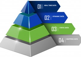
Big Data, Public Data
Above: A lidar-derived elevation raster DSM (of Dinkytown, MN) draped by an aerial photo. Free Aerial Lidar, Renewable Energy, an Infectious Mentality At the intersection of renewable energy, big data analysis, geospatial technology, and public data availability stands the Minnesota Solar Suitability Analysis project. Primarily manned by students in the University of Minnesota Master’s of Geographic...
Transportation
Traffic Analysis in Real Time Until recently, geospatial experts have been unable to truly record traffic data because there hasn’t been a way to get a near-perfect record of traffic data at the lane level. Yet, it’s more evident now than ever that the need for near-perfect data is becoming a critical requirement for the...