Category Archives: Hydro/Marine
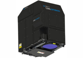
CZMIL SuperNova is Changing Bathymetric Lidar
CZMIL SuperNova, Teledyne Optech’s next generation bathymetric lidar system, is changing the way information about coastal territory is collected and processed. Terratec AS, a leading Norwegian mapping firm, is the first private company to acquire the CZMIL SuperNova and the only company in the EU to engage in work around environmental change and coastal zone mapping...

World Hydrography Day
It’s June so that means kids are out of school for the summer, parents are dreaming of a little family vacation, and if it's June 21 it means it is World Hydrography Day.
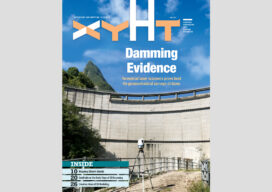
xyHt Magazine Digital Edition: June 2021
xyHt's June issue features hydrography and the need to survey everything water related.
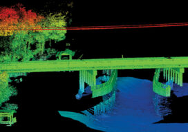
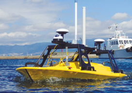
The Challenges of Near-shore Hydrographic Surveys
Near-shore hydrographic surveying can be a challenging task, especially if the conditions are not ideal to collect the required data.
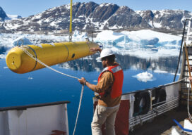
AUVs: Crucial to Seafloor Mapping Effort
In 1775, in Saybrook, Connecticut, the brothers David and Ezra Bushnell built Turtle, a little egg-shaped wooden submarine held together by iron straps, with a 30-minute air supply. The next year, in New York Harbor, Turtle engaged in the first naval battle in history involving a submarine. The first autonomous underwater vehicles (AUVs), undersea systems...
All Hands on Deck
Mapping the entire U.S. seafloor is an epic task. The country’s new national hydrographer says it can be achieved by coordinating efforts and using the latest technology.