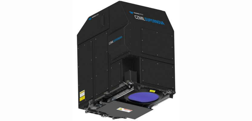
CZMIL SuperNova, Teledyne Optech’s next generation bathymetric lidar system, is changing the way information about coastal territory is collected and processed.
Terratec AS, a leading Norwegian mapping firm, is the first private company to acquire the CZMIL SuperNova and the only company in the EU to engage in work around environmental change and coastal zone mapping using the CZMIL SuperNova.
The system combines the deep bathymetric lidar experience of Teledyne Optech with comprehensive processing software from Teledyne CARIS to provide powerful depth penetration and advanced capabilities.
Michel Stanier, executive vice president and general manager of Teledyne Optech and Teledyne CARIS, says his company worked very closely with Terratec during the development and testing of the Supernova system to ensure that it meets the demanding processing and production requirements in the most efficient, automated manner possible.
“As a result, Terratec is achieving superior results in collecting and processing marine coastal zone base maps and in mapping arctic lakes in ways that could not be achieved until now,” Stanier says. “This effectively puts Terratec in a class of their own with unique bathymetry sensor, processing and production capabilities and we are proud of the outcome of this close collaboration.”
Teledyne Optech’s new CZMIL SuperNova has the best bathymetric depth performance, the highest green laser point density in its class and greatly improved range precision. CZMIL SuperNova also introduces SmartSpacing technology for even and efficient point spacing across the swath, onboard processing capability for reduced post-processing and three configurable modes for maximizing performance in different marine environments.
“CZMIL SuperNova builds on over 30 years of experience with airborne green laser bathymetry,” says CZMIL SuperNova product manager Jennifer Aitken. “The ability to configure the system on-the-fly and optimize data collection for local conditions has significant benefit. We are getting plenty of signal at 600 meters altitude and even higher, so our coverage area is increasing without sacrificing depth penetration.”
As a complete geospatial solution, CZMIL SuperNova has integrated industry-leading software from Teledyne CARIS, to provide seamless integration for processing and deliverables. The complete CARIS Ping-to-ChartTM workflow allows for a myriad of deliverables that go far beyond the mere point cloud.
Moreover, leveraging advanced AI techniques for automated land/water discrimination and noise classification, the CZMIL SuperNova bathymetric solution effectively sets a new standard in processing workflow efficiency through automation without compromising quality.
“We have been following the development in airborne bathymetry for a long time and for us this has been a maturation process,” says Terratec CEO Oivind O. Aase. “The combination of the SuperNova hardware and CARIS processing solution represents a great step forward for airborne bathymetry. Our pilot clients are very satisfied with the results we have presented thus far. We look forward to continued collaboration with Teledyne Optech in further development of the AI algorithms to release the great potential we see in this software solution.”