More and more cities are recognizing the tremendous benefits that a digital twin provides to: its planners, those responsible for operations and maintenance of city infrastructure including utilities, private architects and engineers striving for compliance with city ordinances and by-laws, and the public.
Among the elements essential to developing successful digital twins is recognizing that underground infrastructure is equally important to above-ground facilities, partly because unforeseen ground conditions are a major cause of delays in construction projects.
There are two dimensions to modeling the subsurface: 1) capturing and sharing geotechnical data, including soil, ground water, and geological conditions and 2) determining and sharing the location of underground infrastructure, including utilities, telecommunications, and other subsurface objects.
In 2018, the Netherlands embarked on a national program supported for capturing and sharing geotechnical data about the subsurface; in the UK, the Dig to Share project is designed to address this same problem. In the private sector, Bentley’s new product, OpenGround, supports real-time logging of subsurface geotechnical data and enables sharing this data over the web with all project stakeholders.
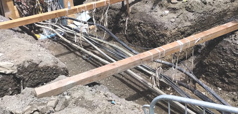
Knowing the location of underground energy infrastructure is critical for public safety, economic efficiency, national security, emergency response, and disaster planning. Recent explosions in San Francisco and Murrieta, CA, Durham, NC, as well as Sao Paulo, Brazil, and the earlier explosions in San Bruno, CA, and Belgium immediately come to mind.
Two recent, remarkable highway construction projects highlight the benefits of accurate maps of underground infrastructure, one in Birmingham, Alabama, and the other in Cedar Falls, Iowa. In both, before design, a 3D digital model of all underground infrastructure in the right-of-way was created. Despite facing aggressive schedules, vast information coordination, complex utility coordination, intense public involvement, and a very tight design schedule involving public participation, both teams were able to deliver the projects on time and on or below budget, thanks to digital twins.
Among the technologies currently considered best practices for detecting underground utilities, ground penetrating radar (GPR) has been getting increased attention primarily because it can detect both metallic and non-metallic underground objects, capture continuous digital scans, and capture the 3D position of underground objects. The major inhibitor to broader use of GPR for detecting the location of underground utilities is the difficulty in interpreting radar scans. In September 2019, Leica Geosystems released the DSX that is the first to address this gap in a compact, portable system.
Current construction practice is focused on efficient design-build and neglects operations and maintenance. The result is a missing or an unreliable and incomplete model at handover. In the last year or two, we are seeing real-world projects that offer evidence for the benefits of an integrated BIM+geospatial full-lifecycle approach for construction projects.
For example, a recent substation project in China adopted a BIM+geospatial full-lifecycle approach, which resulted in tangible benefits including completing construction 30 days ahead of schedule. More importantly, thanks to a virtual-reality model, efficient operations and maintenance will be possible right from handover, with substantial savings during the lifetime of the substation.
Another example is the Napgur Metro, the first project in Asia to integrate a digital twin with an asset-management system to eliminate information loss during design and construction. It will save an estimated $222 million over the 25-year lifetime of the project.
Planners often overlook that a comprehensive digital twin of an urban environment requires modeling above- and below-ground conditions and infrastructure. In the last few years, there has been accelerating progress in technology for detecting underground infrastructure and in policies and procedures for sharing information about the geotechnical conditions and infrastructure below the surface.
Furthermore, increasingly we are seeing projects that have adopted a BIM+geospatial full-lifecycle approach to construction that results in a comprehensive digital model and database necessary for efficient handover and operating and maintaining buildings and infrastructure.