Tag Archives: aerial data capture
Walden Environmental Engineering Captures New Insights and Revenue
Emesent Hovermap was used by Harkin Aerial to conduct internal and external scans of assets for Walden Environmental Engineering. This resulted in simplified and streamlined projects with improved efficiency.
Feature: Preparing to Fly
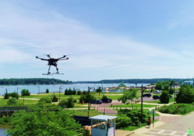
An industry insider provides an overview of the advantages of using UAS for surveying as well as common misconceptions, plus preparation steps for surveyors and firms.Unmanned aircraft systems (UAS) represent a culmination of advancements in miniaturization, electronics, optics, batteries, and data-processing techniques. After being widely used in military and security operations for the past 10...