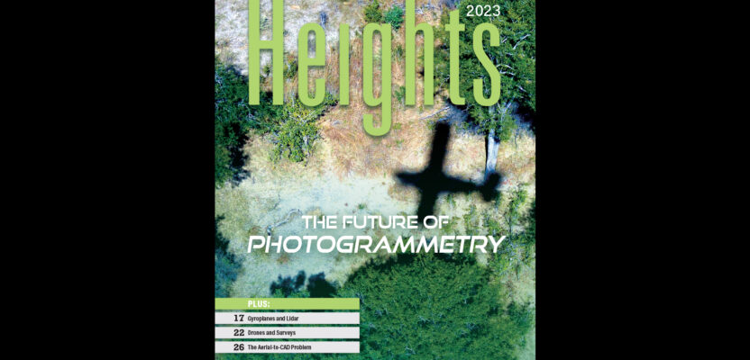
 Click on the cover to view the Heights 2023 supplement to xyHt magazine. Articles in the issue include:
From Nadir to Oblique: From traditional airplanes to new-fangled gyroplanes, we take a look at several aspects of the aerial geospatial technologies that just keep getting better.
The Future of Photogrammetry: While UAVs continue to emerge as aerial mapping vehicles, there is still no replacement for crewed missions that can cover more territory and provide higher-resolution imagery.
Drones and Surveys: Innovative UAVs offer a fast, accurate option for large-area survey data collection.
The Aerial to CAD Problem: Aerial capture is getting easier and faster, but the subsequent step of CAD linework generation is a bottleneck. What’s stepping in to solve the problem?