Looking Forward
Land surveyors aren’t just surveyors anymore. Map makers aren’t just cartographers anymore. We are all tied together in these geospatial professions of measuring, mapping, photogrammetry—anyone who collects and interprets data. We are ‘geospatialists.’
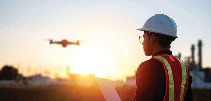
One of the things that tie all of us together is uncrewed aerial vehicles. A few years ago, who would have thought surveyors would have UAVs as an integral part of their kit. And, as writer Juan Plaza points out in his story on page 10, a decade ago as a photogrammetrist flying manned missions in aircraft like the Cessna Citation and Piper Aztec, he couldn’t have even considered that a UAV could be of help to him.
With UAVs and uncrewed aerial systems, it seems we are constantly on the verge of new and greater things. Check out writer Gavin Schrock’s story on page 14 about a company that has developed a technology for drones to map indoor space without a pilot and without connectivity. How is that possible?
Reach outside our geospatial professions and consider the impact UAVs are having in the military, the delivery business, real estate, and even at NASA, which sent a UAV to Mars and successfully operated it on a few missions. If you look at the big picture of UAVs you can’t help but wonder what’s coming in the next few years.
In this issue we take a look at the UAVs and their impact and future. And as our cover says, that future appears to be soaring.