
Blog

Weekly xyHt News Links: 2/9/2018
Trimble Acquires e-Builder to Expand its Construction Management Solutions Orbit GT releases major update of 3D Mapping Cloud Teledyne Optech announces the new ALTM™ Galaxy PRIME: Higher point density increased range performance and superior cost reduction! Korea will launch its own satellite positioning system Trimble Introduces Next Generation GNSS Reference Receiver Delair offers advanced UAV for...
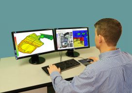
The Case for Software Training
Getting the most value from construction software means knowing how to thoroughly use it. Gone are the days in the construction industry when a smart owner/operator and his backhoe could handle most projects. Back then, measurements were close approximations, and quality was achieved through the skills and experience of the hired contractor. Today, contractors and...
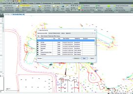
The Future of Office Software
Cloud-based computing offers advantages in speed and cost, and desktop software is adapting to leverage the benefits. It seems like just yesterday we had dial-up internet connections using 56k modems. It is amazing to observe how technology has evolved and how much our lives depend on being connected. That evolution is driving fundamental changes for...
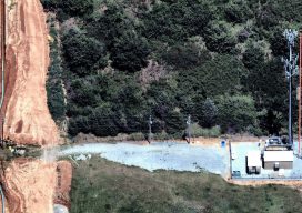
Using Aerial Images to Improve Telecom Operations
Sponsored Content As telecom companies work to keep systems and infrastructure operating, while innovating and adding new capabilities, they must find ways to be more efficient and cut costs. In this post, we talk with Nearmap’s Tim Frank, Senior Director of Marketing, to find out how telecom companies are using the latest aerial imagery technology...

Digital Verification
Complex roofing work with bent and twisted beams gets back on track thanks in part to construction verification software. This $31 million construction project was complicated from the start. The site was in the Danish city of Ballerup, and the plan included five structural steel buildings that would comprise a new, state-of-the-art health care facility....

Easing the 3D Workflow
For 30 years, an Alaska-based company has been producing digital mapping and photogrammetic software to help automate the complex work of data interpretation. Photogrammetry, long the foundation of mapping, has evolved much since 1987 when DAT/EM Systems International was founded. Despite all the advances in both hardware and software, however, the latter cannot yet reliably...
Advertisement