
Blog
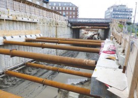
Strategic Movement: Precise Monitoring in Practice
A Danish company builds a successful monitoring business by leveraging technology and expertise. By John Stenmark, LS Newton’s laws of motion tell us that nothing moves if it isn’t pushed or pulled. That concept is behind the success of LE34, a Copenhagen-based surveying company that has built a business strategy around structural monitoring for a...
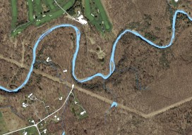
Mapping the Pennsylvania Lake Erie Watershed
Imagery was collected along 77 miles of shoreline to provide a better understanding of Pennsylvania’s natural resources. By Brian Stevens The Pennsylvania Lake Erie Watershed is a substantial part of the world’s largest surface freshwater system, the North American Great Lakes. The watershed is 512 square miles, consisting of 15 major sub-watersheds. It’s estimated that...

Weekly xyHt News Links: 4/7/17
Qinertia, a post-processing software to complete our offer for the surveying industry TCarta Marine to Introduce Gulf of Mexico Streaming Basemap Service and 2-Meter Bathymetric Data at Esri Petroleum Conference ClearEdge3D Releases VerityTM Construction Verification Software Tallysman introduces dual-band plus L-band GNSS antenna A look at NGS’ GPS on benchmarks program in Alaska Blue Marble Offers Free...
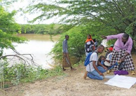
Cadasta: Mapping Land Rights from the Bottom Up
Above: Staff of the Kenya Land Alliance review a sketch map with community members while mapping water resources in Tana River County, Kenya. Credit: Hilary Ogina, Kenya Land Alliance. Cadasta helps put people on the map with a cloud-based platform for land-ownership data. By Matteo Luccio In advanced industrial countries we take much infrastructure for...
Remote Sensing in Yellowstone Park
A consortium demonstrates the value of integrated remote-sensing technologies for studying and monitoring the impacts of climate change using the northern range of Yellowstone National Park as a testing area. By Dr. Olaf Niemann, Dr. Robert Crabtree, and David Brown In 2014, a consortium between environmental scientists and an airborne remote-sensing company was awarded funding...

Geospatial on the Big (and Little) Screen
I get excited anytime I see the tools and technology of the geospatial profession in the media. Positive media exposure to the general public of all things geospatial can be a powerful tool to help build awareness for the profession. Additionally, it helps “build the brand” for the next generation, getting them interested in the...
Advertisement