
Blog
Robots
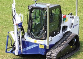
Above: GPS-controlled robots can measure a site fully automatically and precisely anchor screws for the foundation of a solar plant. Measuring and Anchoring As a child I used to watch a program on BBC television called Tomorrow’s World. Once in 1981, I sat in awe as it showed a snooker-playing robot. My dreams were filled with...

A Mapping App for Utility Assets
How a service provider for utilities implemented a mobile app to clock up efficiencies in advanced meter systems. Editor’s note: Mobile apps for asset mapping and mobile data management went from “new-cool” to essential in just a few years. In our April issue (see Mapping Peripheral) we tested a peripheral device that can add precision...

xyHt News Links: 7/17/15
PTFS to Unveil Droneware™ Geospatial Content Management System for Unmanned Aerial Systems at Esri Conference Topcon introduces new construction estimate and heavy hauling software solutions Fisher Unitech Now Offering Makerbot 3D Printers EngineerSupply launches a new website design engineered for its customers

Mapping the Appalachian Trail, Part 2
How the AT was brought into GIS via a collaboration among ATC staff, NSP professionals, and dedicated volunteers. Part 1 of this article (May 2015) reveals the history of the trail, particularly how the land that comprises it was surveyed. Read here about how the trail was brought into GIS. In 1998, the Appalachian Trail...
Stockpile Reports
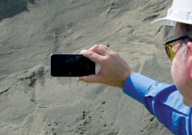
How to do enterprise inventory management from image-based 3D reconstruction, in the cloud and in your pocket. “No one wakes up in the morning thinking that they need to buy a point cloud,” says URC Ventures CEO David Boardman. “Most people would be thinking that they need to solve some business problem.” What URC Ventures...
GIS-Ready sUAS
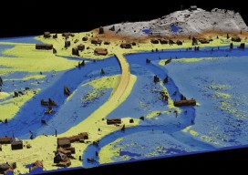
Producing GIS-ready 2D and 3D products to support decisions in transportation. Transportation planners and engineers have often made use of remotely sensed data such as overhead imagery and lidar for mapping, measuring, and monitoring transportation networks. However, despite its utility, remote sensing has failed to achieve its full potential. Remote sensing should be able to...
Advertisement