ILMF is an outstanding conference for all things lidar, including airborne, terrestrial, and underwater, as well as new remote-sensing and data-collection tools and technologies. I try to attend every year because it never gets old; there are plenty of new and exciting technologies, both on the exhibit floor and in the many workshops and presentations. Here are a handful of the leading-edge products I saw this year.
Lidar: Although ILMF covers all aspects of lidar, the biggest presence at the conference is generally airborne  lidar. So let’s start there. Leica Geosystems introduced its new TerrainMapper, a next-gen linear mode lidar. As part of the RealTerrain airborne lidar mapping solution, the new sensor builds on Leica Geosystems sensor technology and is supported by the HxMap unified multi-sensor post-processing workflow. According to Leica, TerrainMapper enables users to increase point accuracy, deliver even point density across the swath, and accommodates more-efficient flight planning in complex terrain such as those encountered in urban spaces and mountainous areas. This new sensor increases both acquisition speed and processing productivity.
 UAV/Lidar: Microdrones was on hand to tout its mdLiDAR1000, a field-to-finish UAS-lidar solution. The mdLiDAR100 package includes the md4-1000 UAS, a SICK brand lidar, a fully integrated software workflow, and technical support. On the hardware side, the lidar unit has a range of 100 meters and scans at an 85-degree field of vision at 19,500 points/sec. An Applanix APX-15-L UAV provides survey-grade GNSS and a precisely calibrated IMU for mapping. Software provided includes mdLiDAR processing software for point-cloud processing and data export specially designed to optimize data from the mdLiDAR1000 system. Direct georeferencing is handled by POSPAC UAV post-processing software. Mission planning and navigation is handled through mdCockpit; see news item below.
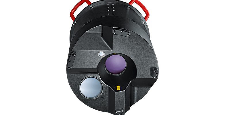
Aerial Cameras: Although lidar is the focus of ILMF, all forms of reality capture are featured. One example is PhaseOne Industrial which was on hand to introduce a variety of new products, including its new medium-format 190MP Aerial System. The system is comprised of several items. The iXU-RS1900 dual-lens camera  offers an increase of productivity of 43% over 100MP platforms. The system is equipped with an Applanix POS AV system for direct georeferencing of aerial images. The 190MP system also encompasses the iX controller, iX Capture software, a gyro-stabilized camera mount, and TopoFlight flight-management system. Additionally, the iXU-RS1900 4-band comprises dual 90mm RGB lenses and an additional 50mm achromatic lens for capturing NIR information to provide 4-band (R,G,B,NIR) image capture.
This is but a small sample of the many products on hand at ILMF 2018. Watch for the March issue of xyHt; the Located feature will cover several more airborne and mobile-mapping product introductions from ILMF. If you work in this space, you owe it to yourself to get a first-hand view.