
You Can’t Beat the Price of Admission
As the march towards the new reference frame and datum rolls on approaching 2022, the National Geodetic Survey (NGS) continues to ramp up its outreach efforts to get us users prepared with the 2019 Geospatial Summit. They have hosted prior geospatial summits in 2010, 2015, and 2017, all with the focus on the big rollout circa 2022. They will be doing so again again on May 6-7, and this one will really have some meat to share. Here is the home page.
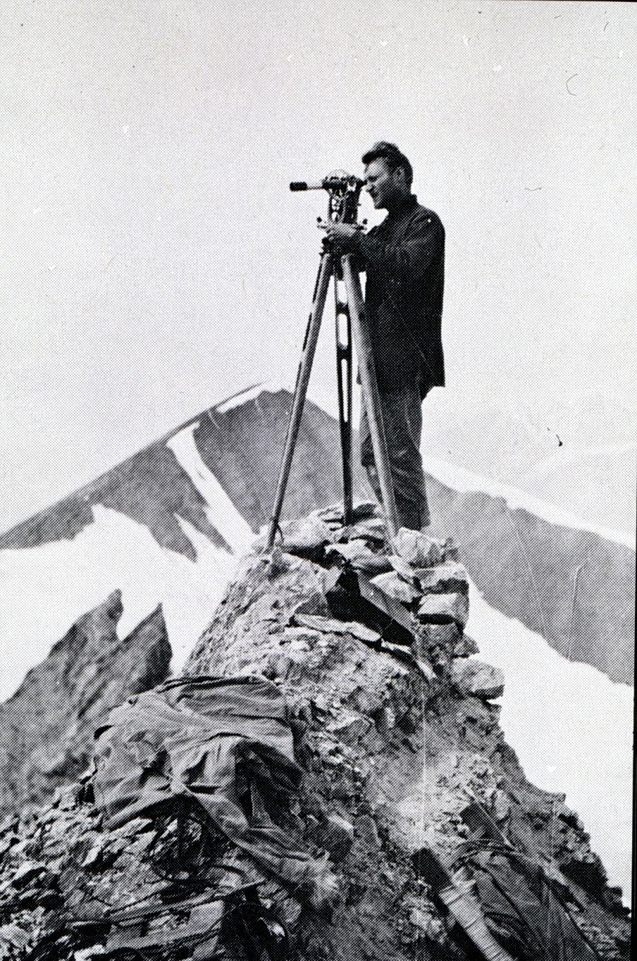
A surveyor at a different kind of summit in 1906 in Alaska. Credit for this and the above image: NOAA Central Library.
Since the last summit, NGS has issued several key documents to define: the geometric reference system (Blueprint for 2022 Part 1), geopotential coordinates (Blueprint for 2022 Part 2), and Working in the Modern NSRS (Blueprint for 2022 Part 3), the initial draft of which was just released last week.
It is no accident that the initial draft of Part 3 was released before the Geospatial Summit, as NGS wants to get feedback on the document from the attendees. Therefore, if you plan to attend in person or remotely, you should read this draft and be prepared to provide meaningful feedback. All three documents will be covered during the first morning of the summit.
What’s New
Other critical efforts and documents have emerged since the last summit, such as:
- the 2018 Industry Workshop, where developers from the largest geospatial software and hardware providers met with the NGS staff to start the process of delivering the new systems to the end users. This workshop will be recapped at the summit.
- The State Plane Coordinate System 2022 (SPCS 2022) project began last year, and now is the time for stakeholders in each state (that use one, which is the large majority) to be getting organized and connected.
- A recent development regarding a possible federal proposal to eliminate the use of the U.S. Survey Foot in favor of the International Foot alone should be enough to get you to register to catch the session on the SPCS 2022 initiative. You can view the compelling webinar that was given on this proposal just last week by clicking on the link.
However, as massive and impactful as the National Spatial Reference System (NSRS) Modernization is, the summit will be about much more than that.
- For example, the ever-growing suite of NGS products and services will be covered. The efforts we can all still be involved with to help improve those products and services will be discussed.
- The GPS on Bench Marks campaign to support the development of GEOID18 was a huge success, which you will hear about, but there is still more for us to contribute to.
- Case studies will be shared by the user community, and the National Society of Professional Surveyors will present on the profession itself. There should be something—probably a lot—for anyone who uses the NSRS for positioning. Check out the agenda for yourself here.
Attend Remotely
In the past, to catch all or most of the content you had to attend in person, but that is not the case this time. If you want to attend in person, you probably have made your plans considering it is less than a week away. But, it’s not too late to register and attend remotely. Simply go here to register.
And here is the great news: it is totally free, and I am certain that you will get MUCH more than you paid for!
Whether you work in the public or private sectors and use the NSRS as the foundation for your products, this summit will provide you with valuable information and the basis for developing your own plans for moving forward. If you have been around long enough to have experienced the transition from NAD27 to NAD83 and NGVD29 to NAVD88, you know that it is a process. The NGS knows that too, and that is why they have dedicated the resources to help us all get there. Be part of the process and attend the 2019 Geospatial Summit. It will be the best money you never spent!
This article appeared in xyHt‘s e-newsletter, Field Notes. We email it once a month, and it covers a variety of land surveying topics in a conversational tone. You’re welcome to subscribe to the e-newsletter here. (You’ll also receive the twice-monthly Pangaea newsletter with your subscription.)