Tag Archives: accuracy

Refining Measurement
A land surveyor unpacks the concept of accuracy “Accuracy is addictive,” my friend David Doyle once said. Doyle is a geodesist by trade. For someone in his line of work, this addiction has a rich tradition. Geodesy is the study of Earth’s shape, rotation, and gravity field. The discipline involves an eternal quest to refine...

Weekly News Links: 10/30/2020
See the New Riegl VUX-120 Lidar Sensor YellowScan Launches Updated Mapper Product MGISS Helps Urban Surveyors with Ultimate Accuracy The Future of LiDAR is Critical to the Future of Our World China Experiencing a Drone ‘Revolution’ in Agriculture The Dashcam Built for Mapmaking Swift Navigation’s Production-Grade SSR Service is Now Available Across Two Continents

Handheld vs terrestrial lidar for building documentation
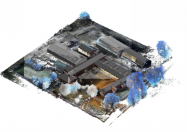
Sponsored by Paracosm Above: nmcn’s final CAD model as generated from PX-80 data. The 3D model is situated in the topographical point cloud data. Are these new tools accurate enough? Handheld mobile lidar scanners have gained market share in recent years by offering faster capture in GPS-denied indoor environments, easier documentation workflows for large, complex spaces,...
