Tag Archives: drones
UAVs Planting Trees
… And What That Means for Next-gen Drones Honestly, I don’t pay much attention to unusual uses of UAVs; I focus on geospatial applications. However, after reading the news about a company using UAVs to plant trees, perhaps I should. Let’s take a look at the story and see what it could mean for the...

xyHt Weekly News Links: 8/11/17
TerraGo and Laser Technology Partner to Integrate Industry-Leading Rangefinders with Advanced Field Data Collection Apps GeoCue’s GNSS kit for drones provides survey-level accuracy Draper equips UAVs with vision for GPS-denied navigation 3D Robotics Joins Forces with DJI and Launches UAV Data Solution
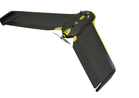
UAS: From FUD to FOMO
By Jeff Salmon Welcome to our semi-annual UAS-focused issue. Looking back over the last six years of UAS development, I am struck by how far the technology has progressed. Right before our eyes a new industry has developed, one that promises to bring far-reaching changes to our profession and indeed to the whole world. And...
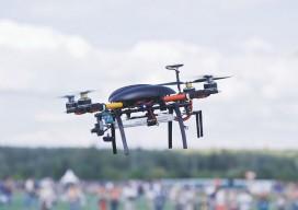
How to Prepare for Oops in UAV Management
Insurance Coverage for UAVs in 2017 It’s inevitable. If you own a UAV, chances are that you will experience a (hopefully only minor, but potentially major) type of accident-related claim involving that UAV due to human or technical error or to weather. Having been a broker in the insurance industry for more than 30 years,...
xyHt News Links: 3/3/17
Orbit GT and RIEGL strengthen data interoperability DJI Introduces M200 Series Drones Built For Enterprise Solutions Topcon announces enhanced integration of GT series total stations with Autodesk MDA to Acquire DigitalGlobe, Creating Industry Leader in End-to-End Space Systems, Earth Imagery and Geospatial Solutions Crane Camera Site Surveying: An Alternative to UAVs?
xyHt News Links – 1/6/17
Cadcorp Ordnance Survey (OS) WMTS for systems integrators Viewpoint Construction Software® announces next gen collaboration platform uAvionix Announces FCC Approved Ping200S ADS-B/Mode S Transponder for Drones, Balloons, and Gliders Acuity Technologies Introduces New Lidar System Schonstedt Donates Equipment