… And What That Means for Next-gen Drones
Honestly, I don’t pay much attention to unusual uses of UAVs; I focus on geospatial applications. However, after reading the news about a company using UAVs to plant trees, perhaps I should. Let’s take a look at the story and see what it could mean for the future of geospatial UAV technology.
The problem: More than 6.5 billion trees are destroyed each year due to human activities and natural disasters.
The solution: With investments from UAV maker Parrot (owner of senseFly), England-based BioCarbon Engineering specializes in planting trees using UAVs. Their system is comprised of four phases.
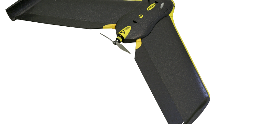
1) Mapping: A UAV flies over the land and collects data on terrain, nutrients, and biodiversity. That data is processed through a machine-learning algorithm, and a precise planting pattern is generated. (The BioCarbon team uses the senseFly eBee platform for mapping and monitoring.)
2) Planting: Mapping data is uploaded into a planting UAV that flies at 2-3 meters above the ground and fires a biodegradable seedpod at each pre-determined position. The seedpod enters the soil, is activated by moisture, and contains all the nutrients for healthy tree growth.
3) Monitoring: A UAV gathers similar data several times after planting and monitors the evolution of the site compared to the previous monitoring flight’s recorded information.
4) Machine learning: Data from the monitoring and mapping phases is then processed by BioCarbon’s machine-learning algorithms, which analyze the data before the next round of planting. (Cool video here.)
With 150 swarms of six drones cooperating together, the firm estimates that it could plant one billion trees per year, with the potential to scale to tens of billions of trees each year.
So what can we learn from this story? Well, mapping and monitoring missions should already be familiar to you. And, yes, the profession could probably use machine learning to a greater degree to improve the efficiency of UAV operations.
What about interactive UAVs, as described in the planting phase above? A personal note: My son works as an engineer for a large company with a significant amount of subsea infrastructure. Not long ago, he witnessed a presentation by a subcontractor on the subject of AUV (autonomous underwater vehicles) describing how these craft are being used to inspect underwater infrastructure for maintenance and repair issues. Interestingly, the subcontractor pointed out that the next generation of AUVs will not only find problems, but interactively fix them, as well.
Could interactive unmanned systems be the next evolution in UAV technology?
Let’s start with land surveying and add construction marking to UAVs. A UAV that can launch seed pods into the ground surely could be repurposed to do the same with marking flags. The same holds true for marking paint; I’ve already seen UAVs that can spray paint, so that wouldn’t be much of a reach. This would tie in nicely with the trend of worksite automation.
Now if we just get a drone to pound rebar . . .
 This article appeared in xyHt‘s e-newsletter, Pangaea. We email it twice a month, and it covers a variety of unusual geospatial topics in a conversational tone. You’re welcome to subscribe to the e-newsletter here. (You’ll also receive the once-monthly Field Notes newsletter with your subscription.)