Legal Boundaries
One of the more serious problems with the surveying profession is our schizophrenic relationship with property and the associated property rights. For my entire professional surveying career, too many surveyors seem to think we have nothing to do with property rights; that our job is to simply layout the math and measurements contained in the property description of a deed and leave the results for other people to figure out. The sources of this delusion are not hard to find. That it continues to this day when we should be more enlightened is baffling.
 The core issue and the only reason for regulating land surveying practice is to protect the public. If this were all you knew about surveying practice it should invoke the question: What is it that surveyors protect for the public?
Just look around, much of what surveyors were once known for and proud of was their expert measuring ability. That is no longer the exclusive territory of the surveyor. Anyone with access to the right tools (total station, robot, GPS, scanner or drone) can be an expert measurer. Some are predicting that in the not-too-distant future a smart phone will provide survey-grade measurement results. So, let’s face it, we are not a regulated profession for the protection of deed measurements.
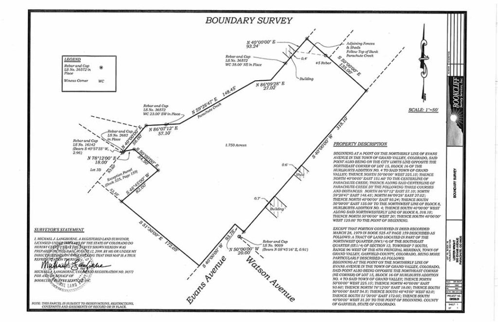
The only possible reason for licensing land surveyors is for the protection of the people’s real property rights through the determination of where those rights exist on the ground. Real property includes land and the permanent improvements thereon, as opposed to personal property that consist of things one owns.
Real property has associated real property rights. In law-school terms those “rights” associated with real property are likened to a bundle of sticks. Ownership of all the sticks in the bundle is called fee-simple ownership. Without going too deep, let’s also acknowledge that these property rights are not unlimited—they have physical limits. That, in essence, is what a real property boundary is, the limits of the exercise of the real property rights. In other words, the physical limits of ownership.
Licensed land surveyors in the United States are the only people who are licensed and sanctioned by each state to make such a determination. A judge can’t do that, a title attorney can’t do that, the title company can’t do that, and the building department clerk can’t do that either.
Under the right circumstances two adjoining landowners can make such a determination and any surveyor who cannot explain what those right circumstances are should turn in their license to practice before you hurt someone.
For a judge to make a property boundary determination there first must be a controversy. Then the judge needs subject matter jurisdiction and in personam jurisdiction over the parties to the controversy. That’s all. The attorneys and surveyors are not required. Most people would hire an attorney and possibly a surveyor, but neither is a requirement nor are any measurements from the deed required. All that is needed is the testimony of the parties and any boundary can be adjudicated, because all property boundary lines have already become established on the ground by operation of law and equity.
In many ways surveying is practiced as a belief system with its own mythology. There is an old saying in the much-confused lore of the land surveying profession, that only a judge can determine where the boundary line is located. This is, of course, pure surveying mythology and belief system, just like the idea that surveyors cannot locate property limits because that’s practicing the law. If both beliefs are true, then the only logical conclusion to draw from them is we need more lawyers (to be these mythical judges) and fewer surveyors.
The purpose of this column is to encourage your questions on boundary surveying issues that we will address in future installments. As such, you are invited to send your questions to the xyHt editor.