Tag Archives: GIS
Making Heightmaps
There is no hiding it: I’ve been building a lot of 3D data recently, partly to sell, partly to fuel my adventures into augmented reality (if you’re interested in me adding this to the blog, please say!). The main vital thing has been the heightmap. Providing Certainty in 3D Heights What is a heightmap, you...
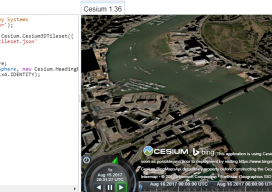
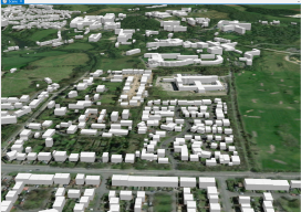
Add 3D Tiles to Cesium 1.36 to Make 3D Virtual Scenes
As blogs come, this has to be (for me) one of the longest. You see, I’ve been playing with Cesiumjs since its beginning and following the exciting beginnings of the “3D Tile” for the last 3 years. I’ve waited patiently, waiting for the moment I could share with the world how fantastic this new technology...
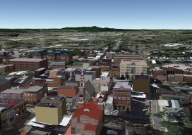
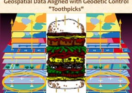
Multipatches, Point Clouds and Meshes
A Guide to 3D GIS Data Formats Moving your GIS to 3D is a daunting task. Not only are there all the vertical issues to take into account, but also a whole new world of jargon, which can, at times, be quite overwhelming. In this post you’ll find a few of the data formats that...

xyHt News Links: 2/24/17
EngineerSupply Expands With GeoMax Surveying Equipment Company EdgeData & Harris Corp Will Collaborate on Electric Utility Mgmt. Solutions Pokémon Go the Geospatial Gamechanger: Six Months Out ArcGIS Solution Provider and Esri Business Partner, GEO Jobe, Launches GIS Knowledge Base
xyHt News Links: 1/27/17
TerraGo Partners with CompassTools to Deliver Advanced GIS & GPS Data Collection Solutions New CT5 Rugged Smartphone Launched from Cedar by Juniper Systems Orbit GT releases Indoor Mapping solution with Floor Plan Builder 3rd Annual National Surveying, Mapping and Geospatial Conference Topcon announces new ES series total station with advanced data transfer functionality DOF, Sonardyne,...
GIS Technology: Get It Surveyed
As I approach my 30th anniversary of being a licensed professional land surveyor in California, I can’t help but think about how things have changed over those years. One word: Technology. It has changed everything. For me, it started with EDMs, then total stations. Handheld calculators were emerging. When the HP 41-CX came out, that...