Tag Archives: mapping

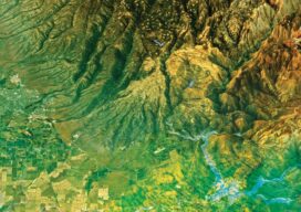
How Green Is Your City?
As tree-planting efforts take root in cities around the world, urban managers turn to geospatial tools to map and monitor their community’s canopy cover. New Yorkers are fast walkers. But there are those who prefer to take it slow, like the group of well-trained volunteers who purposely roamed around the streets of the Big Apple,...

xyHt Weekly News Recap: 05/12/2023
Phase One Takes Aerial Imagining to Another Level GeoBusiness is Back for 2023 USGIF GEOINT Symposium Set for St. Louis May 21-24 Vexcel Offers Access to High-Resolution Imagery in Australia and New Zealand Neusoft and HERE to Provide More Competitive Global Navigation Solutions Trimble Introduces RTX Positioning Solution for Package Delivery Applications via Drones WGIC...
xyHt Weekly News Recap: 05/19/2023
New Ways to Use Drones for Inspections and Quality Control AEM Hall of Fame Seeks to Break More New Ground HawkEye 360 Begins Manufacturing of Satellite Clusters Under Space Flight Laboratory’s Flex Production Program Drone Nerds Will Feature Thought Leaders for ElevateUAV Summit National Geodetic Survey’s Special NGS DAY at FIG Working Week 2023 NV5...
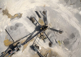
Add a Drone to Survey Fieldwork
Innovative drones offer a fast, accurate option for large-area survey data collection Since the first use of drones for commercial purposes in 2006, the drone industry has rapidly gained momentum and introduced new capabilities to serve a wide range of applications. Surveying and mapping projects pose unique challenges due to the importance of accuracy and...
Teaching the Ethics of Geo
Maps have always been powerful means of communication, whether etched in cave walls, stone, wood, silver of centuries past, or, in the 20th Century, copper plates and, later, film. In our own century, maps are everywhere—on our phones, computers, fitness apps, and news media, communicating in a myriad of ways about changes over space and...

From Nadir to Oblique
Spic-and-Span Bridges Inspecting the world’s iconic bridges is becoming a UAV job When it was time last year to inspect the Sydney Harbour Bridge, the steel arc structure that spans the harbor of Australia’s capital, authorities Down Under turned to the latest technology available: drones. “The sky’s the limit when it comes to this technology....