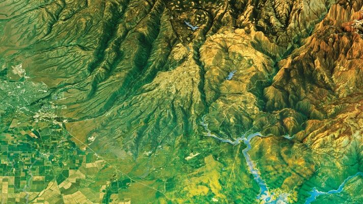
Maps have always been powerful means of communication, whether etched in cave walls, stone, wood, silver of centuries past, or, in the 20th Century, copper plates and, later, film. In our own century, maps are everywhere—on our phones, computers, fitness apps, and news media, communicating in a myriad of ways about changes over space and time and covering scales from local to global, even beyond our own Earth to other planetary bodies.
For centuries, creating maps that were used for science, research, and exploration was a tradecraft that only a select few in society had the skill and the position in which to engage. Today, everyone is not only a map consumer, but also a map creator. Each step in a GIS that creates the data for those maps, to projecting, classifying, symbolizing, and communicating the results is laden with meaning and decisions.
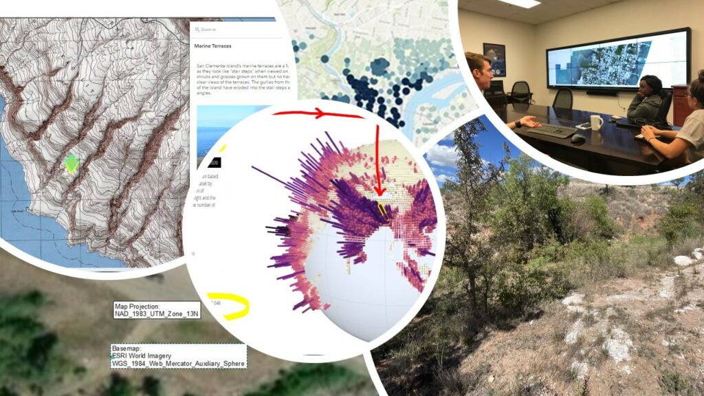
The author created this collage to signify thinking critically about field work, data, and ethics.
Underlying all of those decisions are ethical choices and considerations. Modern web GIS tools empower all of us to share maps with hundreds, thousands, or even millions of people instantly. Given the superpowers that mapmakers have to create and share their maps, it is critical that ethics be taught in any course or program that includes geotechnologies. The resulting awareness can foster sensitivity and thoughtfulness for those in the workforce creating mapped data and making decisions with that data.
This is a key time to focus on ethics for several reasons. First, the aforementioned rise of web GIS has brought maps to everyone, everywhere as never before in human history.
Second, the location element from web GIS has brought a renewed interest in citizen science, or community science, where people from all walks of life gather scientific data on birds, noise, trails, weather, historical sites, and other phenomena from the physical and cultural environment.
Third, awareness of the societal implications of making decisions using technology is rapidly rising. People are mindful as never before that technology and research are not completely objective. They are seeking knowledge on how to properly pursue research-use technology in ethical ways.
Fourth, despite the plethora of maps in our world, maps still have an aura of authenticity–they tend to be believed. Thus, the mapmaker has perhaps an even greater responsibility than those creating other types of data in ensuring that the results of their work are not intentionally or unintentionally misleading—that they are clearly communicating, inspiring, and useful.
One way of raising awareness and knowledge in the workforce of ethical considerations surrounding geotechnology is to embed these concepts in schools, technical, tribal, and community colleges, universities, and in informal educational settings. How can ethics be effectively taught in courses including geography, GIS, health, planning, engineering, business, and other courses in which the “where” question is being asked?
I believe that the very same GIS tools that enable mapped data to be created and shared in the first place can be used to teach and foster discussions around ethics. This can be done in practical, memorable ways that will guide students as they graduate and enter the workforce.
I believe that ethics can be effectively threaded throughout courses in interesting and practical ways through examining data through short hands-on activities, coupled with reflections, discussions, and short presentations. I agree with Cornell University professor Diana Sinton’s view that ethics is too important to be relegated to something covered at the end of a course. Instead, it needs to be integrated throughout courses and programs.
I also believe that these same activities and discussions should be included beyond GIS courses and programs; indeed, in any course in which a key element is on the “where”—data science, supply chain management, epidemiology, sociology, criminal justice, geography, geology, environmental science, history, and mathematics. Lastly, many of these activities can be effectively used outside of academia for a wide spectrum of citizens and community leaders.
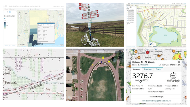
Sample of images used in the teaching resources described in this article. Teaching ethics in GIS and other courses can be effectively and engagingly accomplished using these resources.
How can this be accomplished? One way taught about ethical concerns is through an ongoing series of essays about being critical of mapped data from a book entitled GIS and Public Domain Data that Jill Clark and I authored for Esri Press. These guidelines include: Always ask about the class breaks, symbology, projection, source, curation, lineage, and other metadata with maps you create. Furthermore, examine these same elements in maps you consume, including those you post on social media about.
Maps and stories including maps and geographic data that are shared as fun posts can serve as memorable use in instruction. These include the story of the SS Warrimoo, a ship that supposedly was simultaneously in two different days, months, years, seasons, and centuries. Was this really the case? These types of articles are interesting but need to be viewed critically as more “serious” articles are.
Consider the fun story of the account of a person who wheeled 100 cell phones around Berlin in a little red wagon. The phones submitted their over-land slow speeds to a mapping service, causing Google Maps to show traffic jams in the local area. Was the wagon information “fake data?” Or was the mapping service doing what it was designed to do? Or was it both fake and real?
Are maps passed off as fun also unethical that show the favorite food of residents of each state, where there is no mention of how high (or low) the sample size? Or do we just brush these maps off as trivial stories?
It isn’t that “fun maps” don’t have their place, but I submit that we should treat them critically as well. How should we treat a map of a more serious issue such as crime or health where the N value may be very low and unstated? One of the most effective ways of teaching these topics is to use examples of “bad maps.” What makes a map “bad?” Erroneous, misleading, and just plain ugly maps abound.
Even data in today’s useful libraries and data portals, such as the ArcGIS Living Atlas of the World need to be viewed critically. Remember that maps are representations of reality—very useful representations to be sure, but all have standards of quality, dates, scales, curation frequency, and rules. Even live IoT data feeds used in maps can be in error.
Imagery from satellites, UAVs, and aircraft I believe is even more susceptible to being viewed as “truth” without a critical eye. With the explosion in the types and applications of imagery, it, too, must be viewed critically. Images could be intentionally offset from vectors or could selectively remove specific items, such as moving vehicles. It could also be intentionally faked.
Despite the plethora of metadata tools, important information may be left out of the data documentation. And many web mapping applications can be created with very little or no metadata whatsoever. Sometimes, such information gaps can only be resolved by talking to the data creator with an old-fashioned phone call or Zoom session. This was the case where declining Lyme disease rates looked “too good to be true” when I was revising a map I had created to track the disease in Rhode Island. Another effective teaching tenet is to instill the habit of being critical of your own data that you collect. Data quality and ethical decisions frequently arise here as well.
When creating multimedia dashboards, infographics, or story maps, I advocate posing the question: “Can you use that picture?” as an introduction to terms, laws, and ethical considerations for using copyrighted images. Next, introduce the question, “Should you use that picture?” Potential harm can occur to natural spaces, from geotagged photographs from tourists resulting in a place being “over-loved” for example, or to rare and endangered species.
Gloria Origgi, philosopher and senior researcher, states that “We are experiencing a fundamental paradigm shift in our relationship to knowledge. From the ‘information age,’ we are moving toward the ‘reputation age,’ in which information will have value only if it is already filtered, evaluated, and commented upon by others. Seen in this light, reputation has become a central pillar of collective intelligence today.”
How can we trust a geospatial data set? Do we determine its “fitness for use” by the reputation of its author or organization and its metadata, or is it increasingly on the number of views or likes that data has? Thus, an important aspect to ethics education is to discuss the rise of company reputation as a major influence on behavior and decision making.
Another way of teaching ethics is to foster a debate using the GIS Certification Institute’s Code of Ethics. These include obligations to society, obligations to employers and funders, obligations to colleagues and the profession, and obligations to individuals. The COVID-19 situation presented an unprecedented opportunity to teach with and about GIS, but also presents its own privacy and ethical concerns.
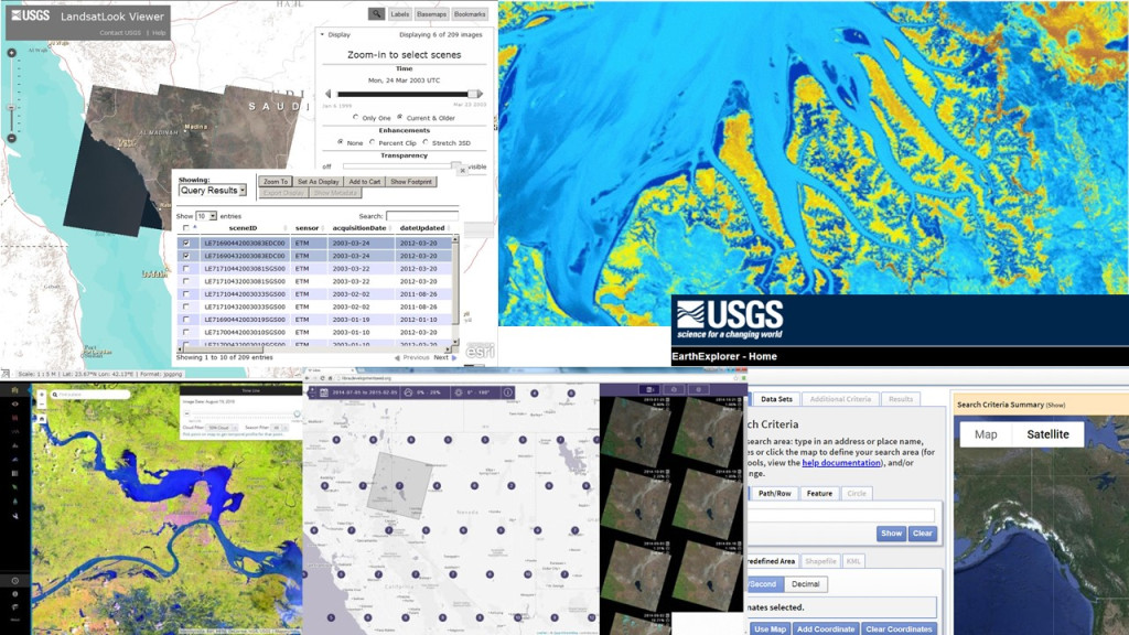
The author compiled this collage from a set of public domain data portals to signify that decisions about mapping and data are to be done thoughtfully.
Real-world scenarios are perhaps the most powerful way to teach about ethics. Create and pose scenarios and under each scenario ask students and coworkers, “When does the obligation to society outweigh the obligation to the employer, funder, or colleagues?” Present practical problems through these scenarios and form groups to tackle the problems. Ask the groups to present their solutions and thought processes to the entire class. Several intriguing, thoughtful cases can be found in the GIS Professional Ethics Project.
Another set is presented in video form, focused on geoprivacy in our blog Spatial Reserves, including an interview with “repo-man,” a driver who collects license plate data via multiple cameras on the hood of his car in a city to identify stolen vehicles.
I also encourage the use of new codes of ethics and related resources that have been thoughtfully assembled by the geospatial community. The Mapmaker’s Mantra, authored by a group of cartographers at Esri, includes the following tenets: Be honest and accurate, be transparent and accountable, minimize harm and seek to provide value, and be humble and courageous.
The American Geographical Society’s EthicalGeo column column provides a set of essays and a Locus Charter set of guidelines. Esri’s social science collaborative showcases the collaborative power and utility of ArcGIS for both quantitative and qualitative social science research.
The American Association of Geographers worked with universities, Esri, and other partners to produce a multi-faceted international webinar series along with papers on the issues, questions, and imperatives for responsible use of locational data in the public interest. The series culminated in a June 2022 summit in Santa Barbara, California, which resulted in a substantive report, research agenda, and other guidance for the field.
It is my hope that these resources and approaches encourage students and geospatial professionals to take the responsibility of creating maps seriously. I provide some of the content of this article in story map form. And even though modern maps can be created in a matter of minutes, it is also my hope that these approaches will encourage students and the future workforce to do so in a thoughtful and reflective manner.