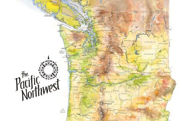
Maps as Art
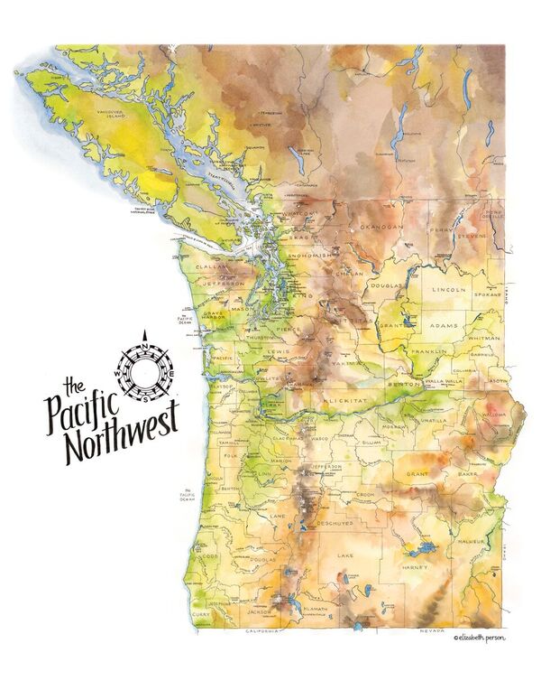
These earth-toned watercolors reflect the greens, browns, yellows, and blues of the verdant Pacific Northwest. I spent hours comparing source material and drawing and re-drawing this map, so I have a new depth of admiration for the mapmakers of old who pioneered this exacting business.
I begin every map with a 1″ pencil grid and draw freehand within each square. This method keeps me precise overall but retains the handcrafted look and feel. Generally, I focus on the physical details and include just a few of the political reference points (rarely roads).
After sketching, I go over my under sketch with waterproof ink.
The final step is the most dramatic, and also the quickest. After hours of inking, I apply the watercolor in under an hour. This messy medium contrasts with the technicality of the ink drawing and adds interest as well as additional information on the topography.