23 Young Geospatial Professionals to Watch in 2023 – 2 of 23
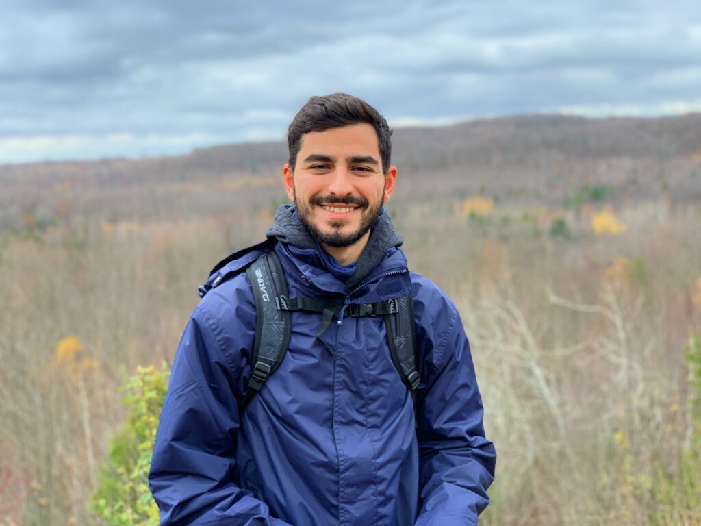
 Name: Malek Singer
Company: Teledyne Geospatial (Optech & Caris)
Current Position: Product Manager, Airborne
Age: 27
Education: BS Geomatics, Carleton University
Biography: Singer is passionate about challenging traditional development roadmaps which have historically focused on “delivering more data. He has expanded Teledyne’s roadmap towards products that deliver unprecedented collection efficiency, rapid insight, and workflows that help companies recruit and retain talent. Those can be seen in the commercialization of AI-based tools for lidar data de-noising and classification, as well as user-vetted workflows for field data mobilization and sharing.
Singer has also been responsible for proliferating the adoption of the top-tier airborne lidar solution in his portfolio to government and private organizations globally. He is driven to deliver demonstrable results in answering the ‘so what?’ question with new technology that effectively punctuates value to specific client needs, market conditions, and growth aspirations. This success can be seen by the government of France adopting the sensor for national mapping, forestry departments in the U.S. modeling above ground biomass efficiently, and cities in Cameroon getting continuous coverage despite the challenge of clouds.
At Agriculture Canada’s Centre for AgroClimate, Geomatics and Earth Observation he worked to serve the groups’ mission of operationalizing AC’s research by automating the weekly map making of the health of Canada’s agricultural extent. He also supported clients globally with technical issues (installation, collection, and data processing), and consulting on upcoming wide-area mapping and corridor inspection projects. Malek’s cumulative experiences, has inspired him to build geospatial products that bring out the best performance from those using them and consequently ideal results to organizations investing in them.
Singer regularly contributes to industry conferences like ASPRS, MAPPS, GeoWeek, and InterGeo. Last year, he initiated and chaired the panel Advancements in GeoAI at the Canadian Symposium on Remote Sensing with the goal of elevating visibility to the research, operationalization, and challenges in GeoAI.

