A profile of their surveying and photogrammetric engineering program
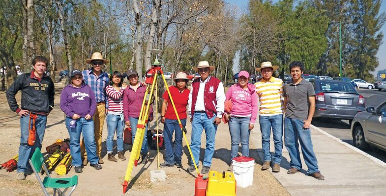
Featured image: IPN students doing field work for a class at the National Autonomous University of Mexico in February, 2012. Credit: Roberto Garcia.
The Superior School of Engineering and Architecture, Ticomán Unit, is located in the north of Mexico City, Mexico, and offers a degree in surveying and photogrammetric engineering, included within Earth Sciences.
The Bachelor of Engineering, Surveyor has a curricular structure that covers the areas of:
-
Topography
-
GNSS and astronomic astronomy
-
Cartography
-
Remote sensing, including GIS and photogrammetry
These are considered the backbone of the program: the theoretical and practical foundations fundamental to the productive and professional functioning of the graduate.
The degree includes eight semesters, including the introduction and application
of sciences such as geodesy, cartography, geomatics, and geometry, as well as specialized disciplines such as photogrammetry, hydraulics, and cadastre.
Academic Program
The academic program is divided into four areas of training: basic science, institutional, professional, and terminal, where the student completes five levels with different learning units. For example, Level 1 covers subjects such as planimetry and altimetry, astronomy, astrophysics, and astronometric surveying. In contrast, Level 5 includes subjects such as digital cartography, urban and rural cadastre, digital photogrammetry, and physical geodesy.
In turn, the learning units are adapted and sometimes redesigned to apply theoretical knowledge in field practices, which are the heart of surveying and photogrammetric engineering.
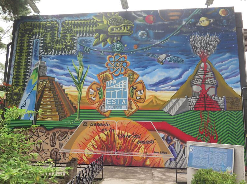
Mural of Earth Sciences at the Superior School of Engineering and Architecture, Ticomán Unit. Credit: Marco Hernández.
To continue improvement, the academic program extends and permeates multiple disciplines by providing specialized learning units that students can choose according to their academic and professional interests. These electives are divided into groups A, B, C and D, for example:
• Group A: Applied topography, environmental geology, administration, etc.
• Group B: Physical geology, physical meteor- ology, etc.
• Group C: Geostatistics, applied GIS, remote sensing in environmental studies, etc.
• Group D: Geographic data analysis, marine mapping, etc.
The curricular map incorporates diverse areas of knowledge with the purpose of improving students’ performance and giving them a greater perspective in the professional field.
Over the years, the degree in surveying has been distinguished by the quality teaching of certain learning units that are based on geometric projects, such as those supporting terrestrial communication and underground surveys.
Its importance is in school practices that include linear and angular measurements, topographical triangulations, propagation of coordinates by means of closed figures (with theodolite and tape), radial sectioning, and more—starting with a review of topographic equipment and culminating with post-processing of data obtained in the field.
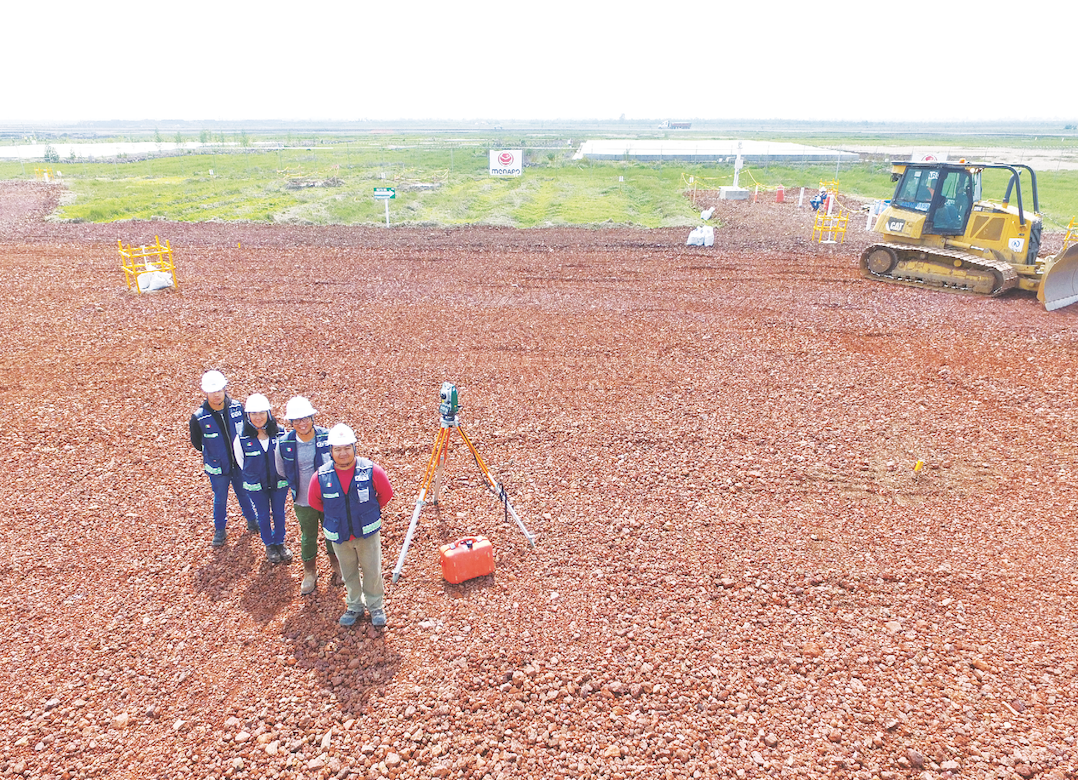
The ASGEO team of students in the degree program of surveying and photogrammetry of the National Polytechnic Institute.
Another learning unit that has been improved and adapted to fit the profile of the surveyor engineer is the formulation and evaluation of projects where the application of topographic and photogrammetric engineering is sought—as a part of the multidisciplinarity of engineering projects within the rigorous legal framework from article 27 of the Mexican Constitution.
Students in geophysics and geologics are constantly motivated to strengthen and add to their knowledge about the use of field equipment such as gravimeters, GNSS, and specialized software, and this includes field practice.
At present, inter-semester courses offer advice on specific subjects to reinforce students’ knowledge and answer their questions, enabling a better performance in subsequent semesters.
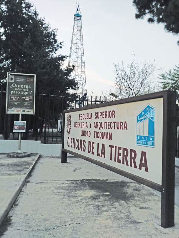
School of Engineering and Architecture, Ticomán Unit. Credit: Roberto Garcia Verdin.
Multidisciplinary Activities
Student participation of the four degrees in Earth Sciences (Surveying Engineering, Geology, Oil, and Geophysics) has been vital to strengthen the knowledge landscape of students. This year, the second symposium entitled, “Four Sciences, One Earth,” allowed the participation of students, teachers, researchers, and professionals through conferences, exhibitions, workshops, and cultural and recreational activities.
In recent years, in response to a need for greater production of scientific work, management and teaching staff have promoted thesis work as a degree option. This has been possible through the link between graduates and researchers through collaboration with multidisciplinary research centers and other public universities.
Another important task of the program is the students’ and graduates’ participation and provision of professional knowledge and services as community social-service brigades. These are determined by the framework of the National Plan for Social Service in Ejidal Zones (PLANASSZE) in projects which may include communal agricultural land projects requiring topographical engineering.
These projects involve field surveys, data processing, and presentation of results with proposals for street rehabilitation, road improvement, urban planning, and roadway modernization. In this way, students identify the importance of survey engineers in society.
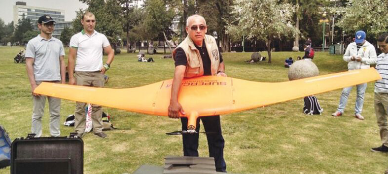
Professor Roberto García Verdín teaches using a UAV.
The field of surveying and photogrammetric engineering maintains the impetus to train professionals who enter society as engineers in Mexico, which is supported by graduates entering companies at the national and international level, such as Leica Geosystems, Petróleos Mexicanos, Cemex, Grupo Peñoles, CFE, SIGSA, and INEGI, as well as a large project of particular national significance: the New Mexico City International Airport.
In addition, graduates become entrepreneurs, creating companies for topography, such as ESYIPSA, ASGEO, Geómetras de México, TOP INNOVA, etc., which foments and justifies the professional training, quality, and commitment of the school.
In 2017, the School of Engineering and Architecture celebrates 95 years, consolidating itself as a campus of excellence in training engineers and architects who contribute to the development of Mexico. In particular, the curriculum of surveying and photogrammetric engineering has been transformed to meet the demand for knowledge, application, and use of evolving technological innovations.
Professor Testimonials
Roberto García Verdín, specialist in geomatics, professor and entrepreneur
“The ‘Poli,’ as we refer to the National Polytechnic Institute, is a hotbed of professionals who […] provide their services of quality and creativity in the desire to apply their crystallized knowledge in projects and works, research and applications.
Hence, the career of Surveying and Photogrammetric Engineering, Earth Sciences, is a significant example of this symbiosis: society-engineer, both […] nourished by the provision of public education by society and by the engineer surveyor of the application of his [or her] expertise for the solution of social problems.
My educational development in the Poli has been the most important in my career, being an instructor and adviser of the future Engineers Surveyors and Photogrametrists.”
Ing. Esp. Julian Mares Valverde, academic professor
“My training as a surveyor and photogrametrist engineer graduated from the National Polytechnic Institute was essential to strategically position myself in the national labor market. As a specialist, I consider that the use and application of technological geographic information is fundamental for the preservation and restoration of the ecosystems of our planet Earth.”
Student Testimonials
José Raul Arredondo, student
“As a student and surveyor I believe that the experience of seeing the evolution and change of the space where you are working is the best way of understanding the essence of surveying.”
Rodrigo Álvarez de la Luz, student
“I have learned a lot from the specialties in surveying that I will apply in a future as an entrepreneur and in interferometry investigations. Surveying is not for anyone, only for people with a great capacity for work, who search for knowledge and have a traveler spirit.”