
Blog

Cooperative Effort Takes Off
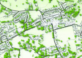
Tapping into UAS technology creates possibilities for a northern Arizona utility. Sometimes, the most effective, revelatory, progressive solutions to a problem can be found in the unlikeliest of places. Case in point: three and a half hours north of Phoenix in the city of Lakeside, Arizona, an electric cooperative that serves more than 33,000 member...

Weekly xyHt News Links: 09/7/2018
Digital Twinning and the Complexity of Reality Leica Microsystems Opens First Ever Imaging Center in San Francisco Radiant Earth Foundation Releases First Earth Imagery Platform for Global Development Trimble launches new model of R10 GNSS system for land surveyors Laser Technology offers improved rangefinder with compass EOMAP launches online shallow-water bathymetry store Phase One Industrial...
Time & Progress
Editor’s note: As an example of how far QGIS has evolved and the depth of the many features and plugins, Anita Graser, key member of the QGIS team and author of popular QGIS guide books, offers the following details. Graser was also one of xyHt’s 2015 inaugural 40 geospatial professionals under 40. More and...
QGIS Chair
An Interview with Paolo Cavallini Paolo Cavallini has been part of QGIS for as long as I can remember. Whenever I’ve had problems or made a remark on the QGIS mailing list, he has been there to help. He is everything you don’t expect a developer to be. Furthermore, he has now become chair of...
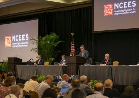
Being a Reference for Survey Exam Candidates
Why you should take the opportunity seriously. If you spend time reading almost anything regarding the state of our profession and the growing concerns regarding the viability thereof, you will often see several factors mentioned: the inability to attract young people despite our high-tech, three-dimensional suite of deliverables, the erosion/loss of traditional surveyor tasks, in...
QGIS Details
How features are developed, plus details on releases, support, and plugins. Editor’s note: Tim Sutton has been a figurehead for free and open source software (FOSS), is past chair of the QGIS steering committee and is also co-owner of Kartoza. Here he kindly writes about how QGIS works on a project level from his vast...
Advertisement