
Category Archives: Cartography
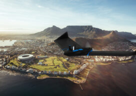
senseFly Expands its Line of Fixed-Wing Mapping Drones
A mapping drone in the $10,000 price range might sound like one of those things that’s too good to be true. And up until now, maybe it was. A Swiss company called senseFly, a global leader in fixed-wing mapping drones, has expanded its flagship eBee X drone solution with the launch of eBee Geo. The...
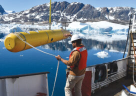
AUVs: Crucial to Seafloor Mapping Effort
In 1775, in Saybrook, Connecticut, the brothers David and Ezra Bushnell built Turtle, a little egg-shaped wooden submarine held together by iron straps, with a 30-minute air supply. The next year, in New York Harbor, Turtle engaged in the first naval battle in history involving a submarine. The first autonomous underwater vehicles (AUVs), undersea systems...
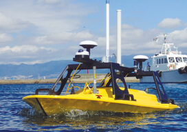
All Hands on Deck
Mapping the entire U.S. seafloor is an epic task. The country’s new national hydrographer says it can be achieved by coordinating efforts and using the latest technology.
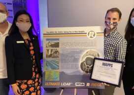
MAPPS 2020 Geospatial Excellence Awards
MAPPS honored members with the 2020 Geospatial Excellence Awards as part of the organization’s 14th annual Awards Presentation that took place January 26, 2021. The event was hosted by Riegl USA in conjunction with the 2021 winter meeting in Orlando, Florida. The Geospatial Excellence Awards are presented to regular and associate member firms whose entries...
ReachView 3: Native App for Reach Receivers
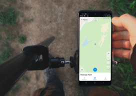
ReachView 3 is the all-new mobile app by Emlid for working with Reach RTK receivers. Familiar point collection and stakeout tools are now powered with the new user interface, coordinate system support, and ability to manage big projects. ReachView 3 is a free app available for Android and iOS devices. Coordinate Systems on Board: In ReachView...
Survey Says: Height of Mount Everest is Two Feet More
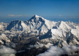
Since 1856 China and Nepal have argued over the actual height of Mount Everest, the world’s tallest mountain that sits on the border between the two countries in the Himalaya Mountains. Until today (December 8, 2020), Nepal has measured Everest at 29,029 feet. That counts the ice cap on top of the actual height of...