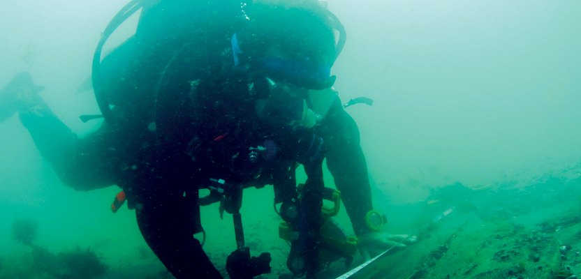
Most people assume that my job consists of digging big holes to remove shiny artifacts, swimming into an intact ship to, again, remove shiny artifacts, or, in extreme cases, using explosives to remove shiny artifacts. This couldn’t be further from the truth. Maritime archaeology seeks to gain knowledge of the past and preserve it for future generations, often in an inhospitable work environment where time, visibility, and communication is limited. Thus, techniques need to be developed, skills need to be honed, and problems overcome for us to do our work.
From the excavation of a 350-year-old shipwreck to impact assessments prior to construction development, maritime archaeology is a world of measurements, positions, and spatial relationships, with the constant quest to increase accuracy in order to achieve our aims of gaining knowledge and protecting the past. On land and under water, a key component of any archaeological project is the creation of a permanent record, of what is there and what work has been undertaken. This is of particular importance underwater where exposed remains are at the mercy of a harsh environment. An added difficulty of working underwater, particularly in the United Kingdom, is low visibility, often making it impossible to see from one end of the site to the other and thus making it hard to visualize the whole of a site. As technology has advanced and become more accessible, so has our ability to create an accurate record in a much shorter time, record whole sites, and undertake large-area surveys.
With commercial projects such as offshore windfarm construction and aggregate extraction, the ability to survey areas at a high resolution with sidescan and multibeam sonar allows features of potential archaeological interest to be identified during the impact-assessment phase. Once a feature has been identified, appropriate mitigation can be put in place; due to the high cost of diver or ROV ground truthing, this mitigation is often avoidance. With the high positional accuracy that is now achievable during surveys and with the use of GIS, very specific exclusion zones can be implemented, which while protecting the historic environment minimize the operational impact to the developer.
While there will always be a place for divers on shipwreck investigations, remote sensing techniques have developed to a point where incredibly accurate surveys can be undertaken in a matter of hours without the inherent inaccuracies of measuring with tapes in low visibility and strong currents. Using appropriate software, the data can be visualized, measured, and even printed in 3D. Comparisons can also be made with 3D models created from original plans or previous surveys to look at degradation and seabed change such as scour. We can even use the images to monitor the impacts that other activities such as trawling or dredging are having on the site. All this without getting wet!
Using skills from both the marine survey and GIS communities and with the advancement of underwater technologies and positioning systems, maritime archaeology is breaking down the barrier that the sea creates for accurate and reliable archaeological survey.