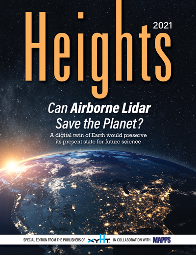
 Click on the cover to view the Heights 2021 supplement to xyHt magazine. Articles in the issue include:
- Archiving Earth: An ambitious plan to make a digital twin of the entire landmass of Earth is gaining support throughout the geospatial community. Using airborne lidar can such a monumental project help save the planet?
- Looking Up: Welcome to xyHt’s 2021 edition of Heights where we discuss all things aerial.
- The Growing Use of Drones: UAVs are becoming more and more commonplace in the geospatial professions, but they are also filtering into other professions like crime fighting and forestry.
- Looking Back: In the early days of using lasers to measure things and create images, contributing writer Juan Plaza used a single-beam laser in a 1967 Beechcraft airplane over the Amazon rainforest.
- MAPPS Directory: A listing of MAPPS members with phone numbers and web site information.
- The State of MAPPS: Incoming president Robert Hanson takes a look at back at 2020 and how successful the organization was despite pandemic lockdowns and difficulties.
- Seeing the Trees and the Forest: Hyperspectral imaging and airborne lidar are becoming a match made in the sky. Among the dizzying array of possibilities, the two are being used to survey trees and asses their numbers and health.
- Don’t Crash Your Drone: Contributing editor Jeff Salmon, a long-time UAV expert, recounts his history with flying drones and offers a few lessons on how not to make the same mistakes he made.

