 xyHt‘s March issue focuses on lidar and aerial imaging and the creative ways these evolving technologies are being implemented.
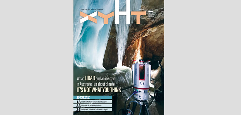
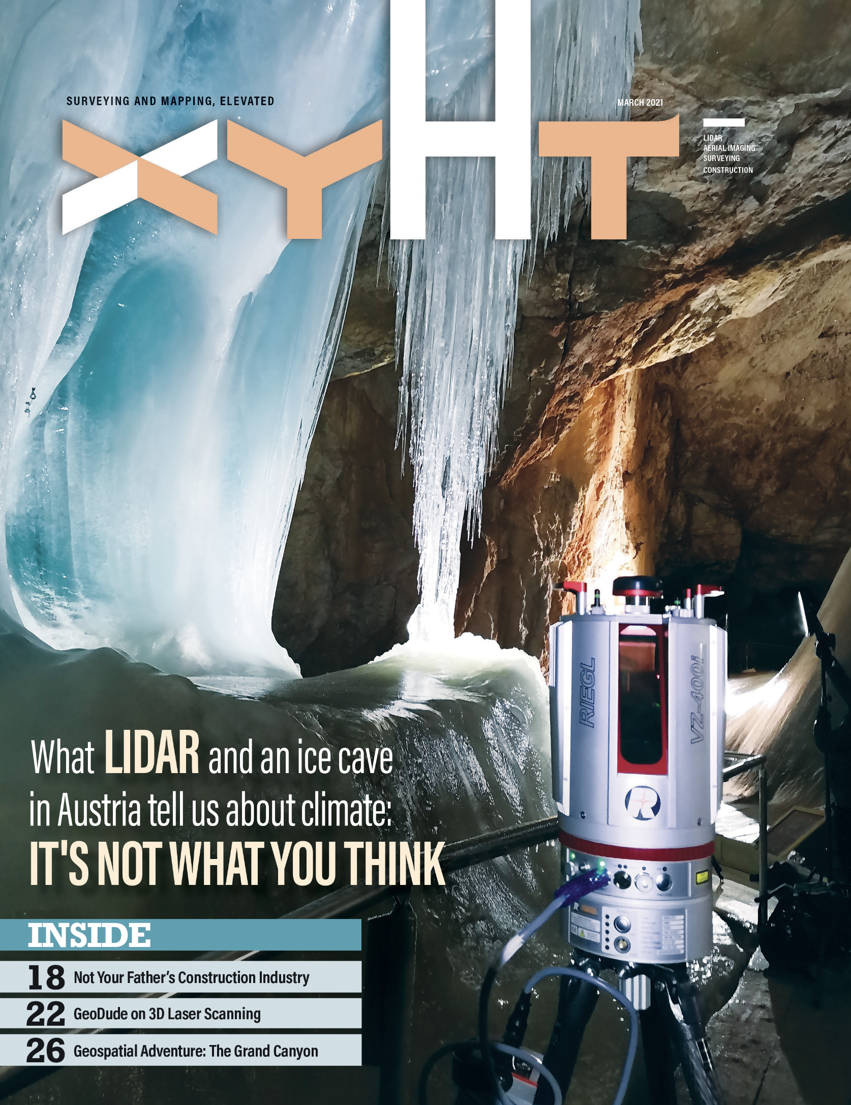
As always, if you don’t have a subscription to our print edition, or if someone else in the office has snaffled your copy, never fear, here is the digital edition. Click here, or on the cover to the right, to view the March 2021 issue of xyHt magazine.
Here are some highlights:
- What Lidar and an Ice Cave in Austria Tell Us About Climate: A 10-year scanning study of an ice cave in Austria reveals a lot about the Earth’s climate. But the growing ice mass may not reveal what you think.
- Geospatial Adventure: Surveying in the Grand Canyon is, by nature, difficult. But doing so in a time of social distancing and when the park is closed to visitors can be surreal.
- GeoDude on the Early Days of 3D Scanning (Part 9): Back in the 1990s, the developing technology of 3D scanning was touch and go. In the end it took off and is an indispensable geospatial tool today.
- Aerial Assist: Setting ground control points in treacherous terrain can be challenging. But using lidar is making these survey jobs much easier.
- Construction Innovation: The construction industry changed slowed for thousands of years, but now technological advances of the 21st century have the industry leaping forward.