




Top Stories
Get your top stories below
xyHt Digital Magazine: May 2023
xyHt’s May issue focuses on uncrewed aerial vehicles and uncrewed aerial systems. As is the case with almost every aspect of ...
xyHt May 2023 Digital Issue
Please click the black arrow box below to make the issue full screen for better viewing. ...

xyHt Weekly News Recap: 04/28/2023
Topcon Launches Easy-to-Use Building Construction Software Digital Construction Week Reveals Main Stage Lineup OGC Requests Public Comment on a Standardized ...

Mechanics, Science, Chemistry, and Surveying
The genesis of modern surveying and geodetic instruments sprang from a convergence of multiple sciences I held the century-old instrument, ...
xyHt Weekly News Recap: 04/21/2023
Register for FIG Working Week Before April 23 NGS Day at FIG Working Week is May 31 2023 Sonardyne launches ...
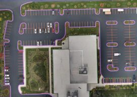
Tackling the Aerial-to-CAD Bottleneck
Aerial capture is getting easier and faster, but the subsequent step of CAD linework generation is a bottleneck—especially given the ...

Boundary by Acquiescence
Legal Boundaries This time around we have a question from a Georgia reader about the doctrine of acquiescence and applying ...

Dangerous Dargan and an Old Indian Deed
Sponsored by Xponential With apologies to both the residents of southern Washington County, Maryland, and to the Native Americans; this ...

Three Critical Skills of a Land Surveyor Expert Witness
By Tony Nettleman (Part Two) Serving as an expert witness and testifying in court is enjoyable, fulfilling, and a great ...
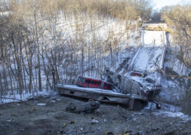
Rapidly Mapping Infrastructure
Could a Pittsburgh-based start-up help improve (and save) America’s bridges? Early in the morning of January 28, 2022, a Pittsburgh ...
xyHt Weekly News Recap: 04/14/2023
INTERGEO 2023 – BIM in Construction NV5 Completes the Acquisition of L3Harris Subscription-Based Geospatial Software Business Hexagon Releases First Autonomous ...
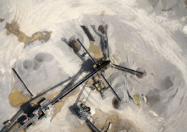
Add a Drone to Survey Fieldwork
Innovative drones offer a fast, accurate option for large-area survey data collection Since the first use of drones for commercial ...
