Open Source, Geospatial, Sun, Legos
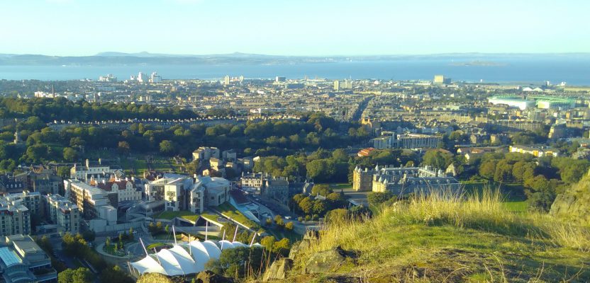
I had a wonderful three days in Edinburgh attending the most recent FOSS4G UK conference, based at Dynamic Earth. Edinburgh has never had better weather, and I was assured by the locals that this was not normal!
There was a great selection of workshops and talks, covering everything from cartography, remote sensing, QGIS in the cloud, metadata, OpenStreetMap, web-processing services, and QGIS documentation. At an event like this I prefer attending workshops to talks, and I managed to fill my whole time with workshops, a first for me!
Workshops
QGIS is one of the main players at the conference, and there are a great couple of apps that allow you to set up a QGIS project, synchronize it with your mobile device (phone or tablet), and then use this to collect data in the field. Then you can magically resync the data to QGIS Desktop and work with the data you collected in the field. There are two different programs for this – QField and Input. I attended workshops on both and would recommend them if you need to collect data in the field.
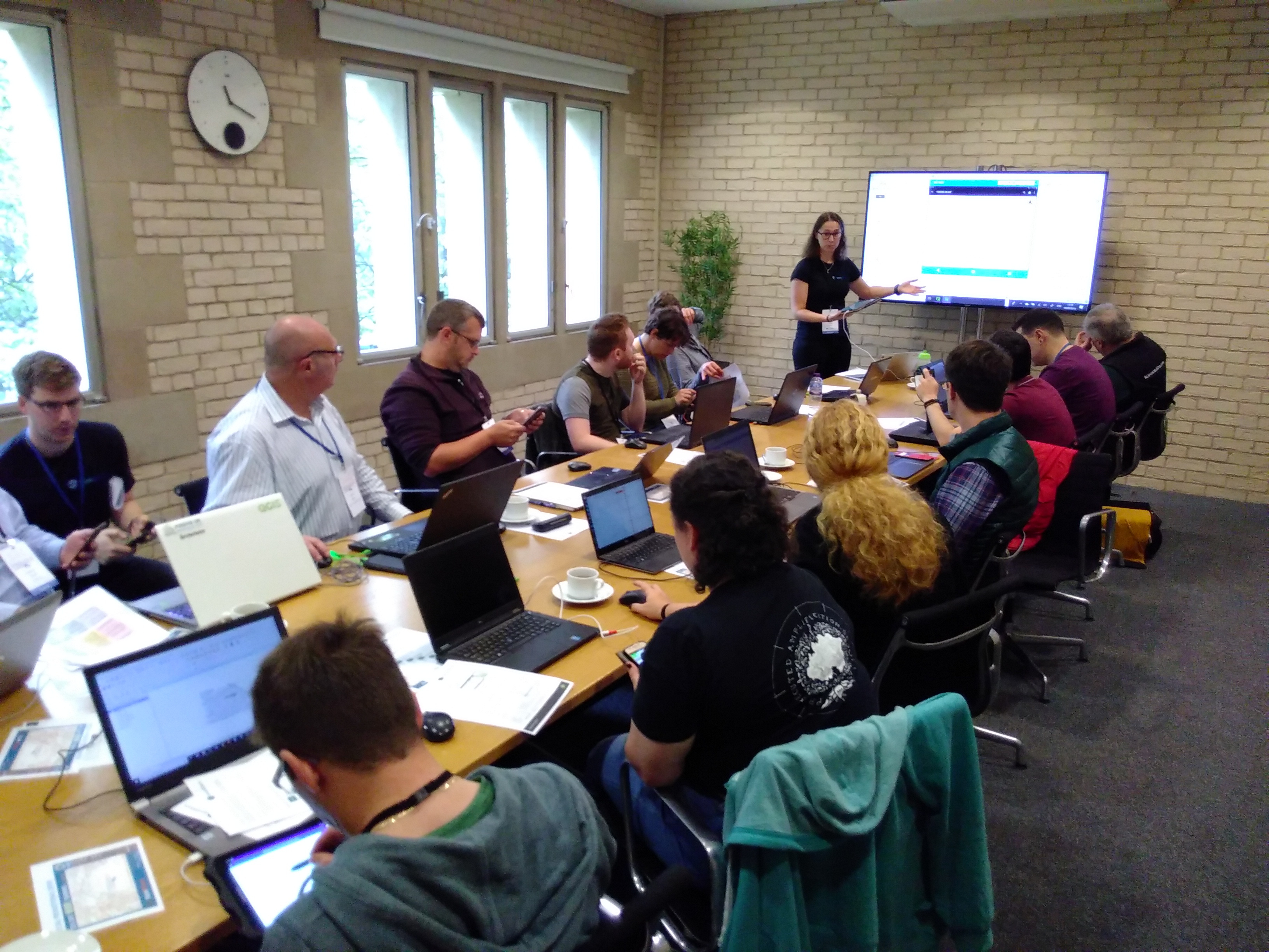
The QField workshop was run by Kirsten Reilly from ThinkWhere, explaining how we could set up a project in QGIS and synchronize this with the app to go out into the field. QField has a range of options to synchronize your data—the simplest and easiest using a cable to connect to your phone or tablet.
The second workshop was for Input, run by Saber Razmjooei of Lutra Consulting. Lutra has developed Input as an alternative to QField, re-creating the app from scratch and ensuring that Input can be operated on iPhones, as well (QField is currently Android only). There are a lot of similarities between the programs, with QField being a bit more developed (i.e. less buggy) but Input having a cleaner interface and slightly more features.
Field Trip
We also took a trip outside and got to use Input in the field (well, in the grounds of Dynamic Earth!). My phone (a Fairphone 2) was actually not very happy with either app, and my experience wasn’t flawless, but I could certainly see the potential (as they say, your mileage may vary!).
QField Workshop
Mike Spencer gave a great talk on the pros and cons of using R or QGIS for cartography. There are so many options out there, and his talk gave examples of amazing outputs from R and QGIS.
There was a whole slew of talks that I would have liked to have attended but couldn’t because things clashed. Fortunately all of the talks at FOSS4G UK 2019 were live-streamed and recorded, which allows anyone to experience the conference.
My Workshop
I led a workshop on contributing to QGIS documentation, which was well received with 10 participants. Contributing to documentation is a key element of open source software and is something that often gets neglected. We covered how QGIS documentation is structured, how to work with GitHub to make changes on the web, and how to work with documentation locally. The workshop was only 90 minutes long, so we didn’t have time to make any changes to the QGIS documentation, but we did have great fun experimenting with the example repository I made for it.
At the Community Sprint on Saturday the 21st, a group of nine of us had a go at a variety of coding and documentation issues. I led a group of three experimenting with QGIS documentation issues. We all had a deep dive into GitHub and learned a lot! We fixed a range of issues from unclear documentation to new features in the QGIS Master that needed to be added into the documentation.
The organizing committee put together a great conference and captured the unique feeling of a FOSS4G conference. Many thanks to all of them.
They even created a Lego video to celebrate the amazing conference. FOSS4G conferences happen all across the world, so keep your eyes open for one near you in the future!