
As a highly progressive company that uses proven technologies, GPI’s acquisition of RIEGL’s cutting-edge VQ-1560 II airborne sensor will further allow us to provide advanced mapping solutions to meet and exceed our client’s needs and expectations. GPI has not only purchased the VQ-1560 II, but we are also upgrading our existing VQ-1560i to a VQ-1560 II. We will be one of the few firms in the country that owns and operates multiple VQ-1560 II LiDAR sensors.
About the VQ-1560 II
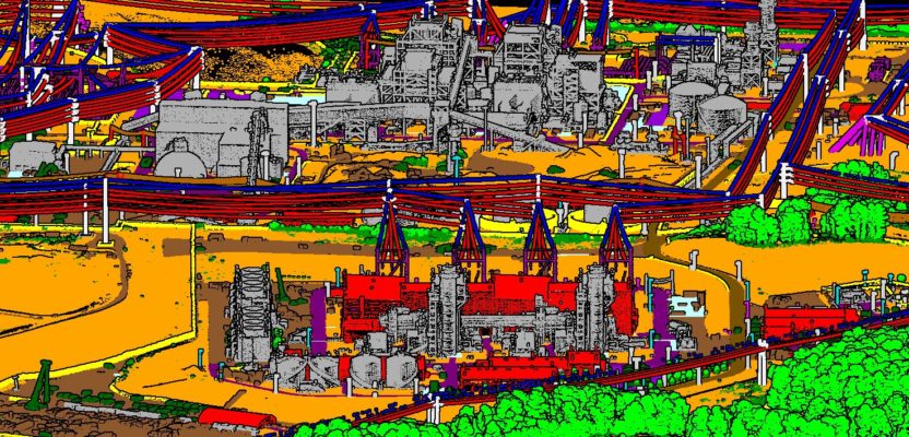
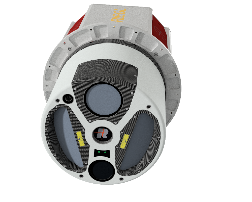
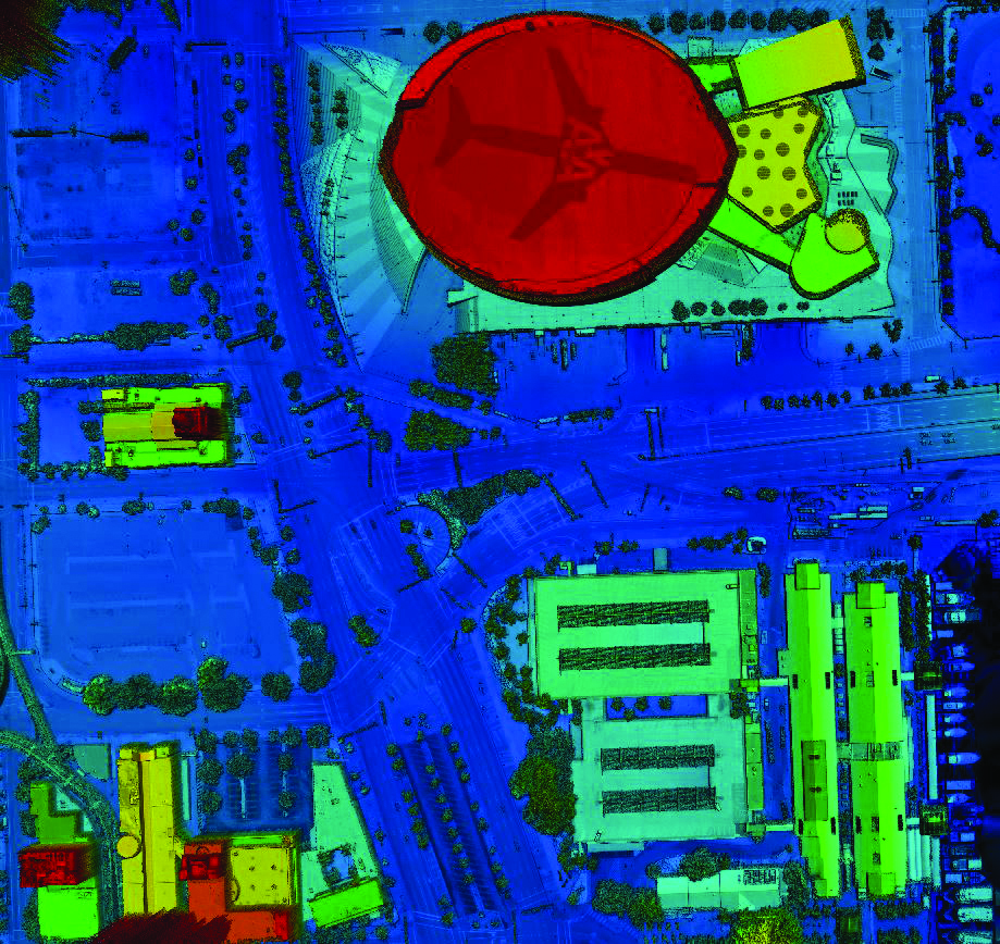
The RIEGL VQ-1560 II is an ultra high performance, dual channel waveform processing airborne LiDAR mapping system that is well-prepared to fulfill the challenging demands of our complex airborne mapping missions. The fully integrated and calibrated system is equipped with a high performance IMU/GNSS system and a primary Phase One 150-megapixel RGB camera. Based on RIEGL’s waveform-LiDAR technology, the system is capable of online waveform processing, as well as full and smart waveform recording, which delivers highly information-rich scan data for post-processing.
Sensor Applications
GPI provides precise, accurate mapping products and solutions to our clients in applications such as statewide and high altitude mapping, power transmission modeling, vegetation management, shoreline and environmental studies, transportation surveys, agriculture, forestry, private development and ultra-high point cloud density. As the owner and operator of a large fleet of aircraft and multiple LiDAR sensors and aerial cameras, the VQ-1560 II will allow us to fly at a higher altitude and increase the point density, which will ultimately save our clients on acquisition and mobilization costs.
This sensor will position GPI to enter new markets and disciplines in support of our Geospatial Branch’s strategic growth plan. The professional use and ownership of sophisticated sensors allows our team to offer superior and accurate mapping products to our clients who expect creative and proven technology solutions.
About GPI Geospatial, Inc.
GPI is a trusted provider of precision mapping and surveying services within the transportation planning, design & construction communities. Our knowledgeable, high-performing team members are focused on cultivating and maintaining client relationships through safe, innovative and timely project delivery.
GPI’s is experienced in aerial, mobile and terrestrial LiDAR, photogrammetry, orthophotography and asset management. We provide high accuracy, simultaneous data collection using multiple sensors from our fixed-wing aircraft, UAS, or ground-based vehicles.