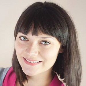
 Surveyor and PhD student, University of Agriculture in Kraków Poland
Dedicated researchers continue to explore the practical uses for advances in geomatics science and technology, often long before we see such applications in our projects. Sometimes the approach to, “What if we tried” is best taken by skilled and educated hands. A combination of land surveyor and scientist describes Magda Pluta. Her research projects and papers include comparing 3D models created by scanning and photogrammetry, improving 3D visualization for urban planning, exploring matters of land ownership and land-use development, ionospheric effects on GNSS observations, and many more. Magda has earned her bachelor’s and master’s in geodesy and surveying and is seeking her doctorate, all from the University of Agriculture in Krakw. She has also worked as a land surveyor in the field using multiple technologies and in the office as a photogrammetrist and cadastral technician.
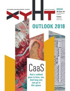
This profile is one of 40 in xyHt’s 2018 Outlook issue. Click on the image below to read more.


